AERONAUTICAL PHOTOGRAMETRY
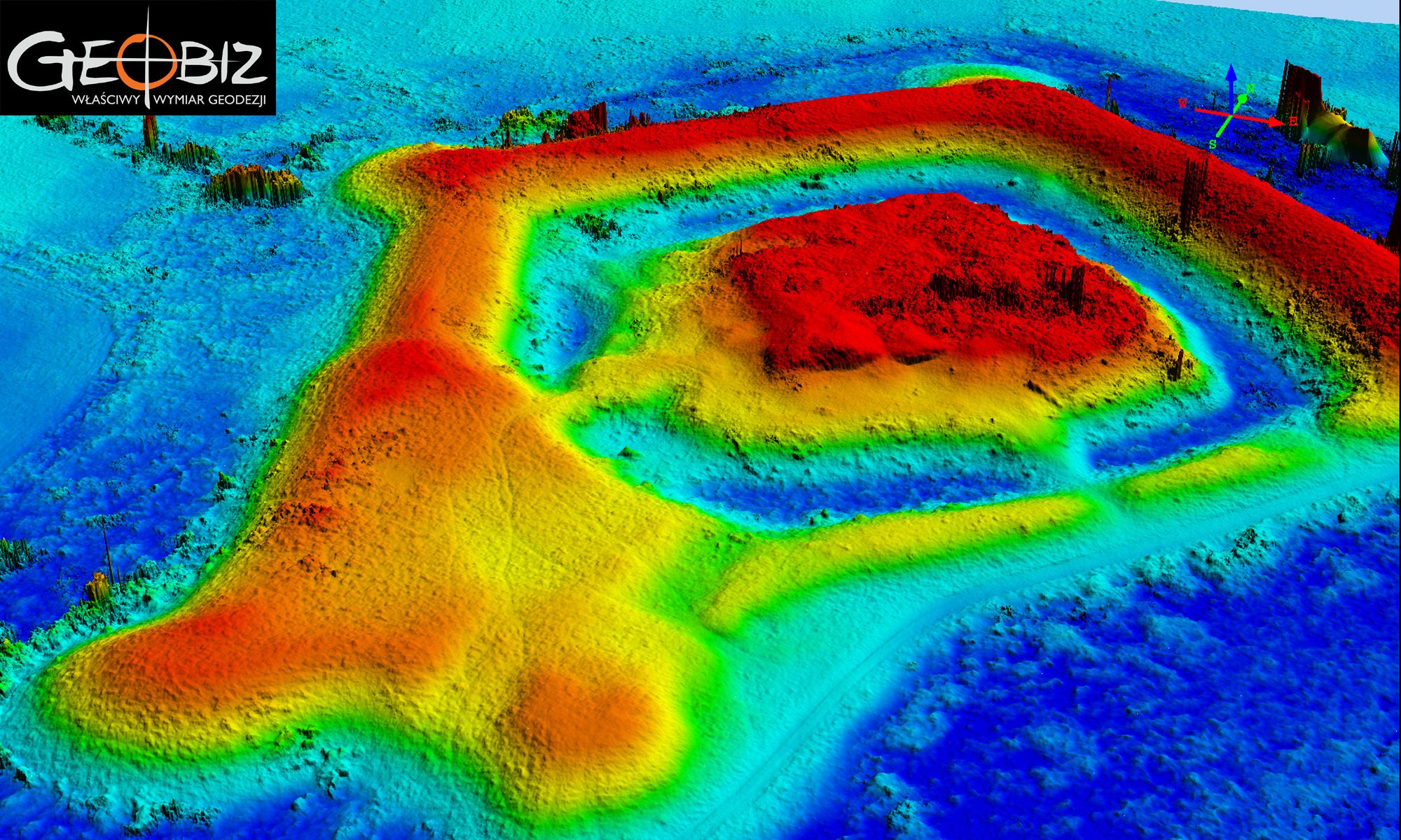
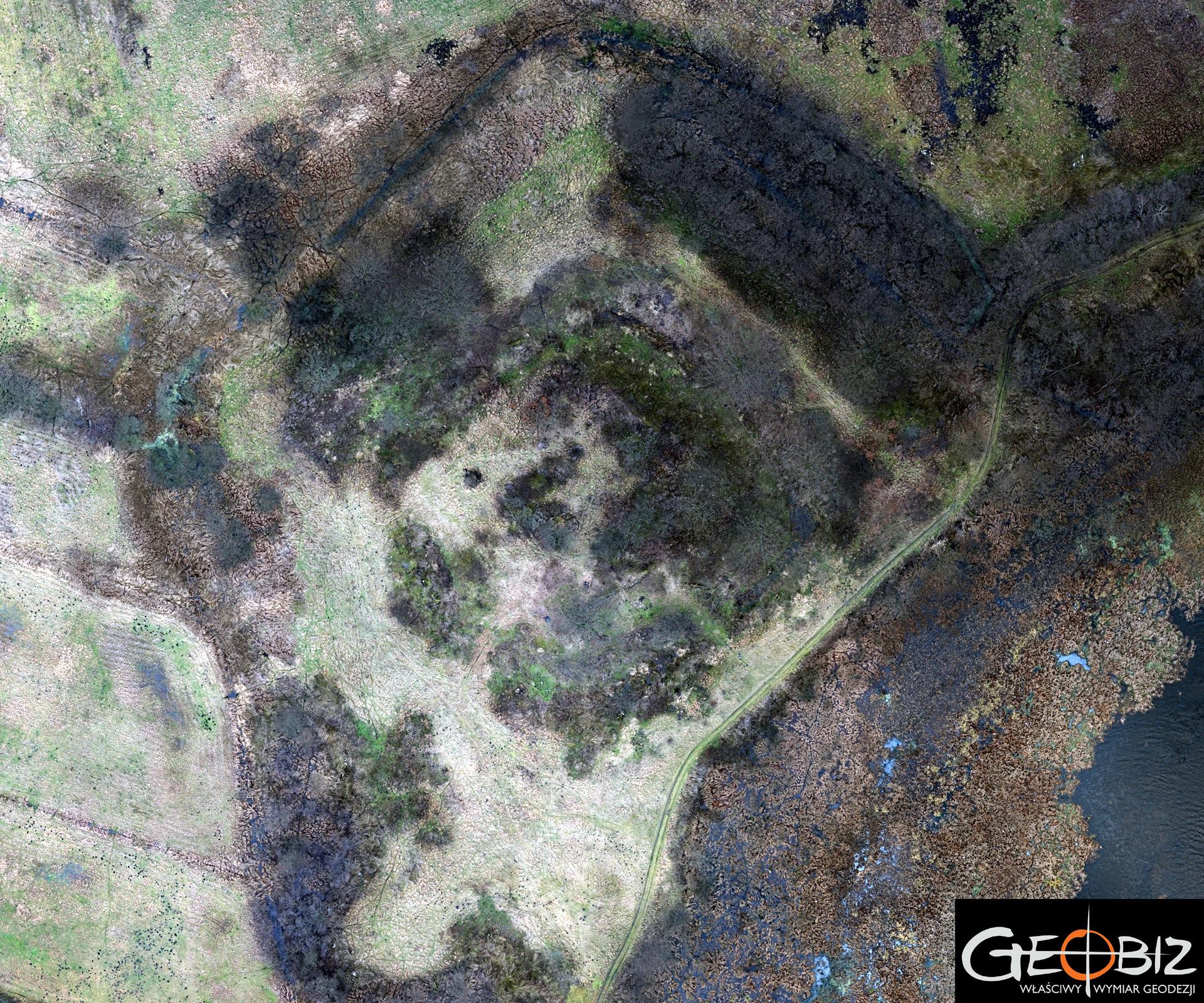
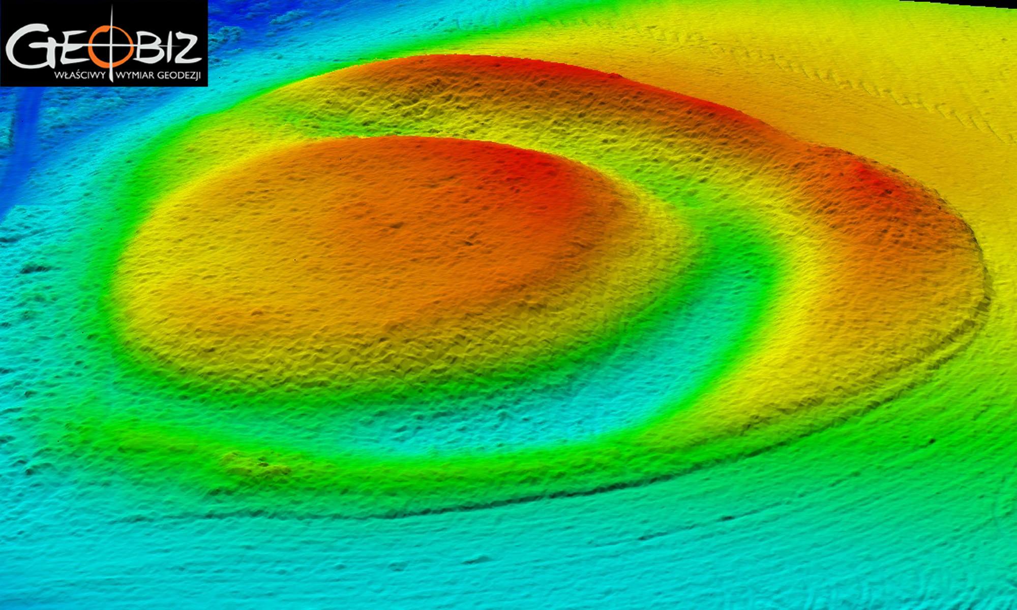
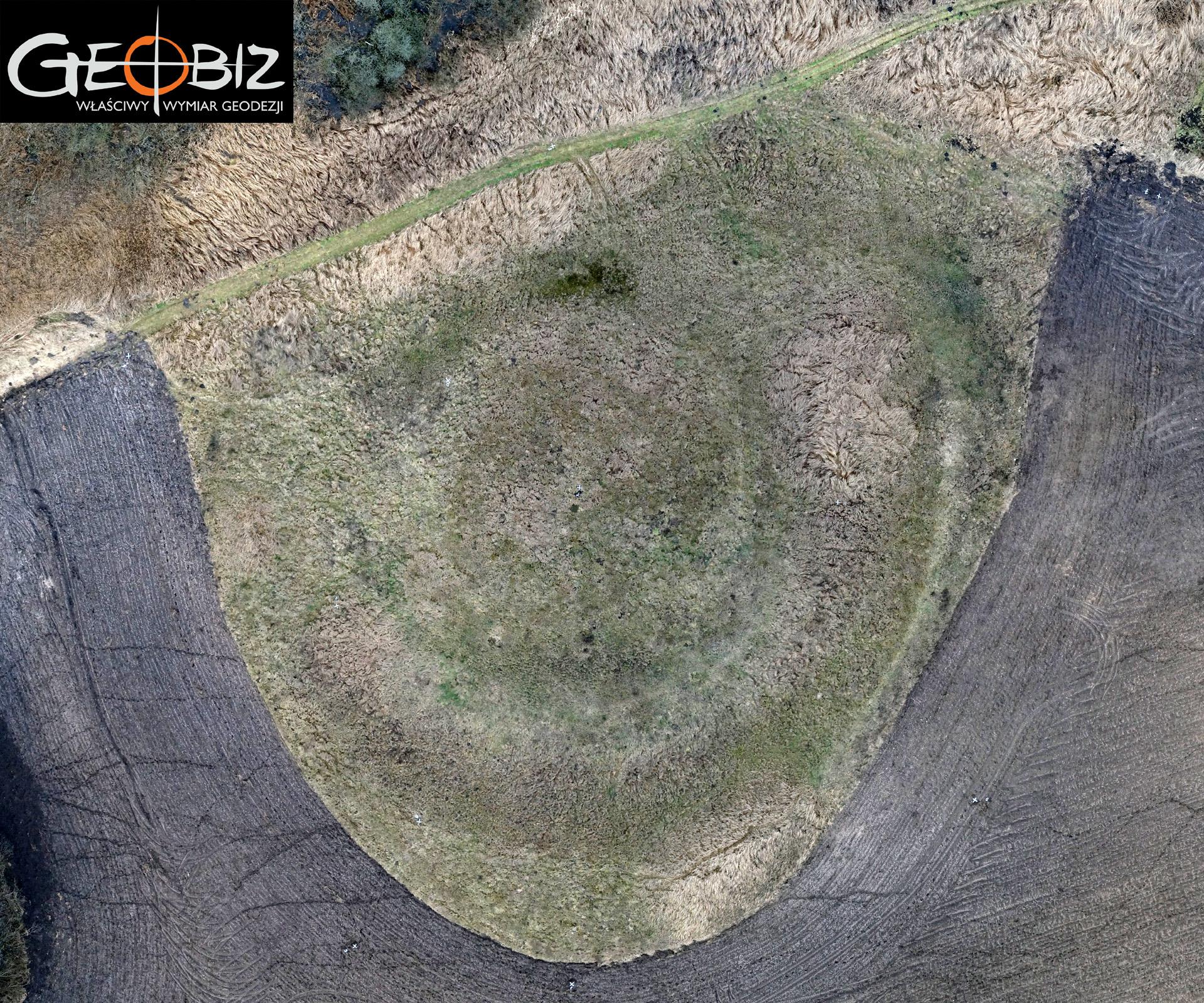
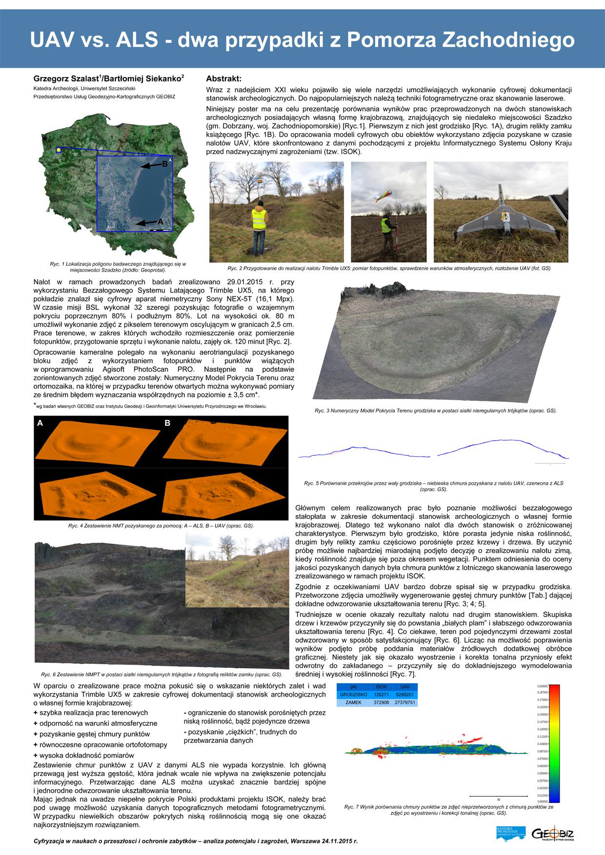
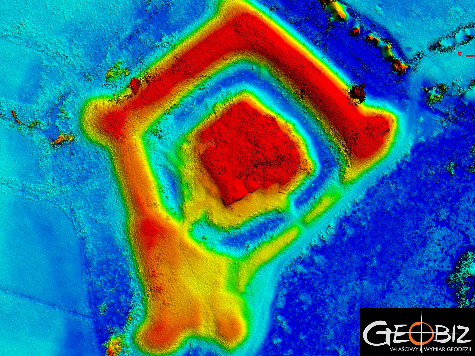
Using our own Trimble UX5 unmanned aerial vehicle (UAV) and photogrammetric lab, we carry out all products derived from aerial imagery. This includes orthophotos with a resolution of up to 2.4 cm GSD, through to photo reports – rapid inventories of construction progress, volume calculations – even for objects that are difficult to access using traditional measurement methods.
ARCHAEOLOGY - SZADZKO
MoreINVENTORY OF WORK PROGRESS
Based on the photos taken by the TRIMBLE UX5 drone, we conducted an inventory of the construction site.
MoreCONTACT
We encourage you to send an inquiry, and we will prepare a personalized offer for you.
