GAZSYSTEM
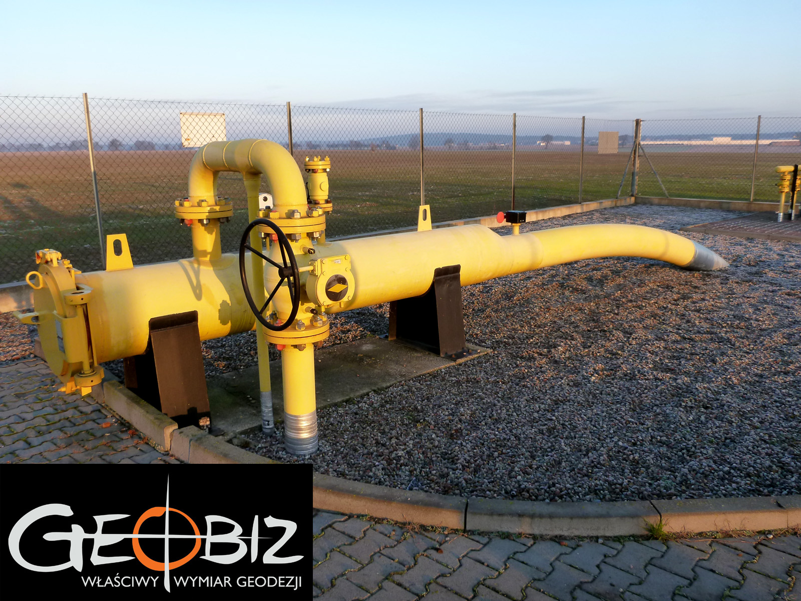
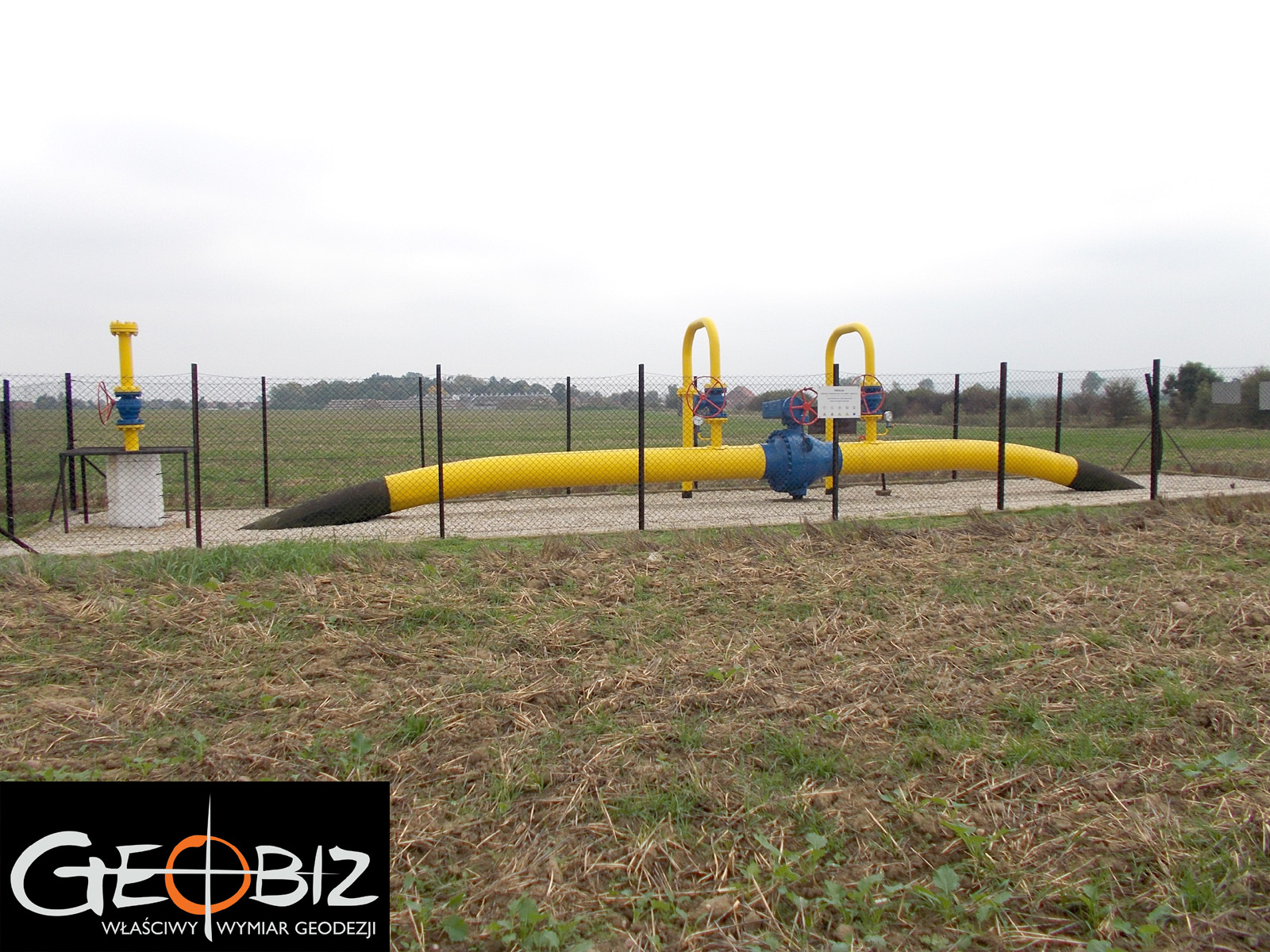
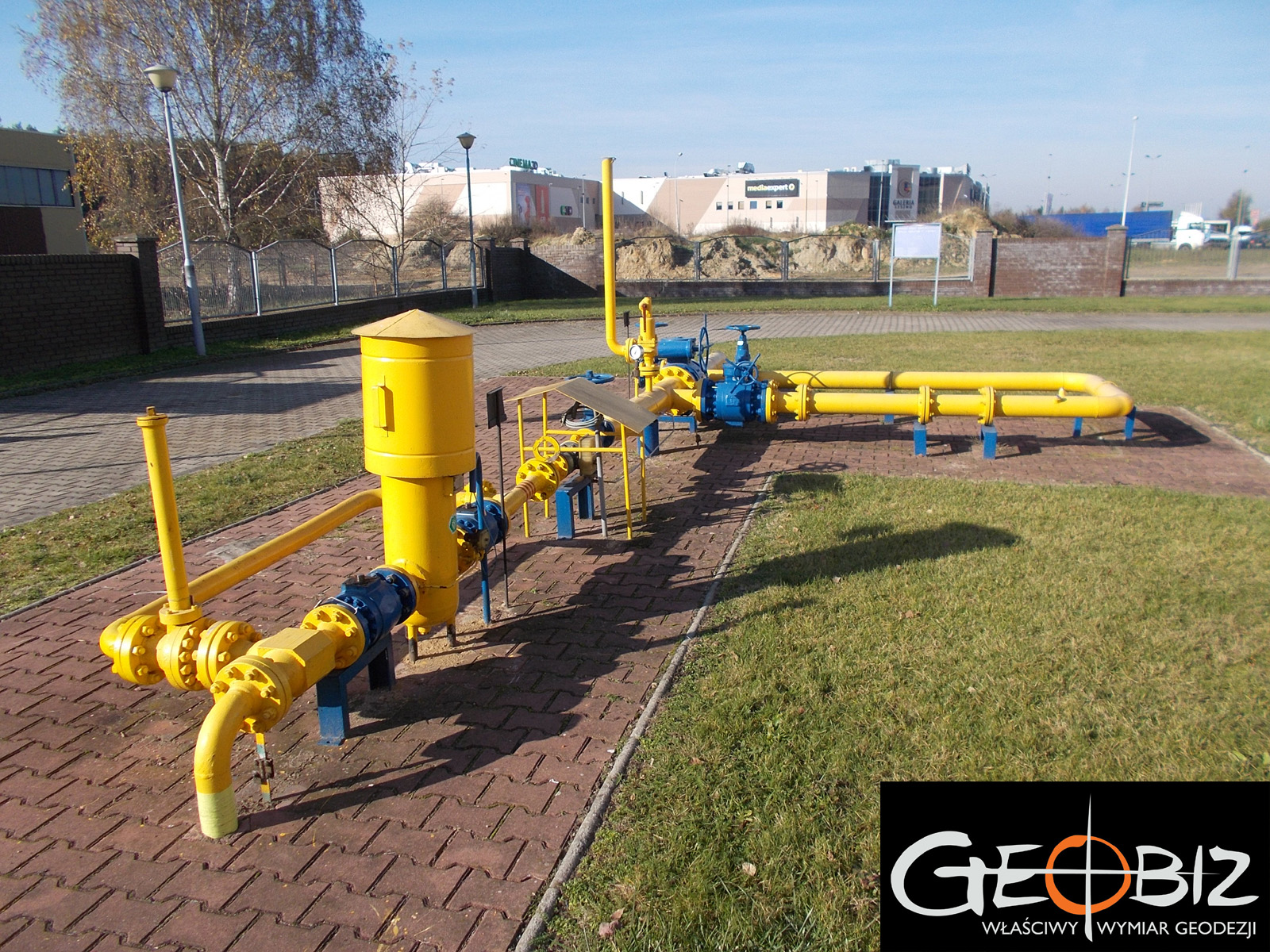
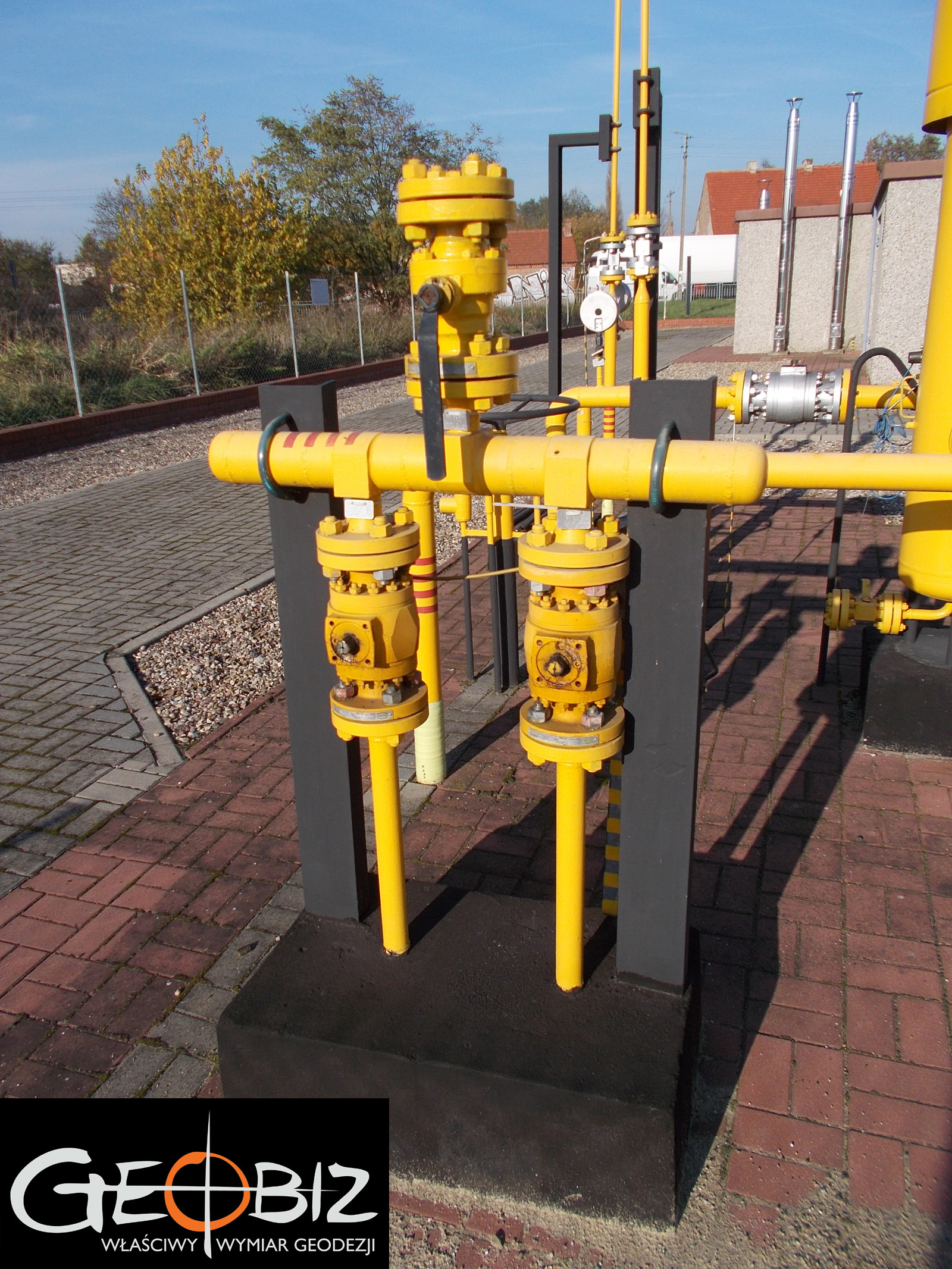
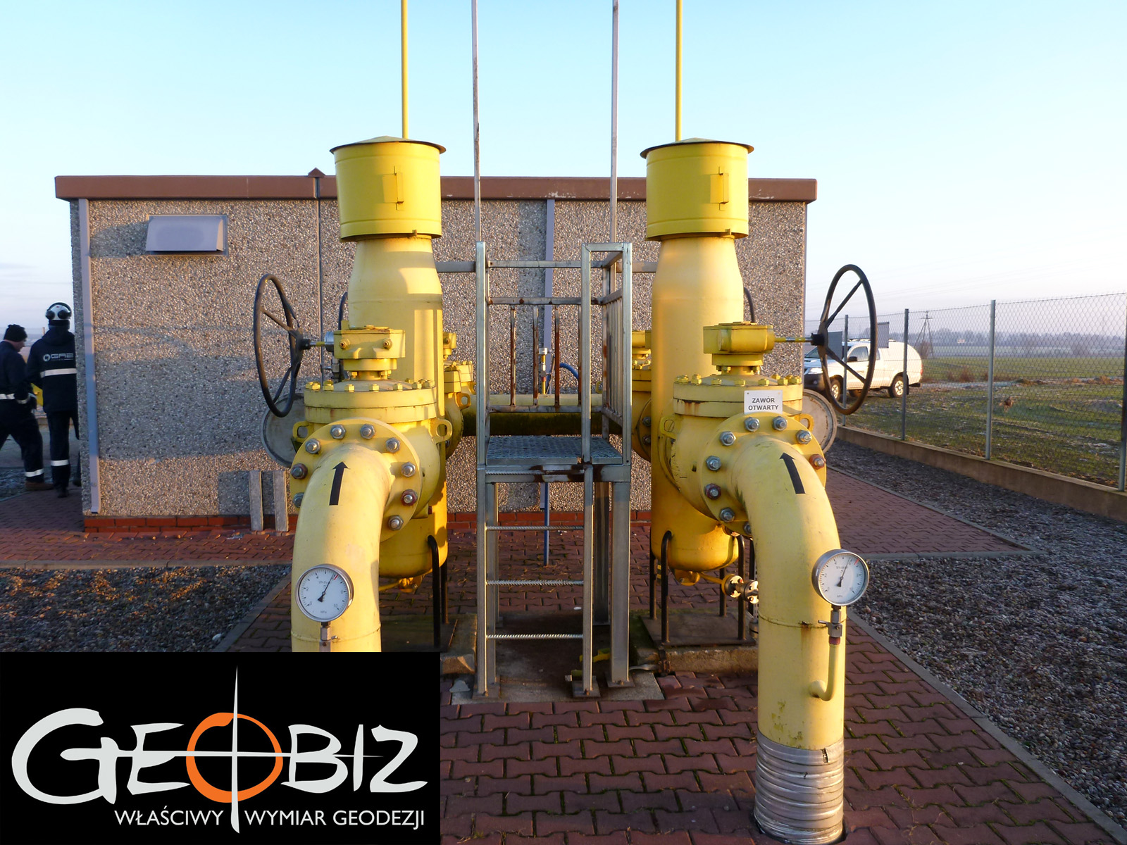
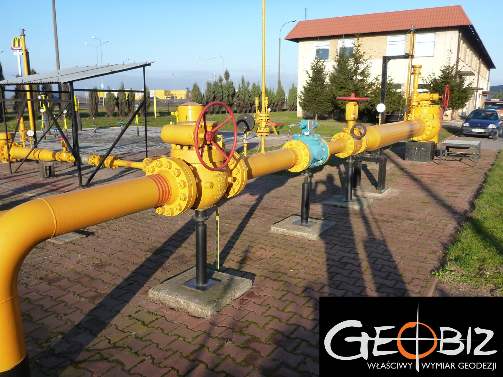
The end of 2014 was spent on surveying gas networks. We measured approximately 250 km of pipelines in the southern region of Greater Poland.
The work involved locating the infrastructure on-site using underground utility detectors, determining the depth of their position, and then measuring and processing the data to enable its integration into the digital industry map. Additionally, we carried out an update of cadastral maps in a 100-meter strip along the gas pipelines, measurements of collisions with other networks, and measurements of gas stations within the scope of the project. Due to tight deadlines, the work required coordination between field teams and office staff to ensure that the tasks were completed on time as required by the client. The increasingly shorter days made the task more challenging, but we ultimately managed to meet the deadlines and deliver the full documentation on time.
Services in the field Geodesy - offer
MAPS FOR DESIGN PURPOSES
GEODETIC CONSTRUCTION SERVICE
AS-BUILT INVENTORY
ESTABLISHMENT AND RESUMPTION OF PLOT BOUNDARIES
DIVISION OF PLOTS OF LAND
STAKE OF PROJECTED POINTS
CERTIFICATES OF INDEPENDENCE OF PREMISES
Certificates of Independence of Premises Poznań
CONTACT
We encourage you to send an inquiry, and we will prepare a personalized offer for you.