INVENTORY OF WORK PROGRESS
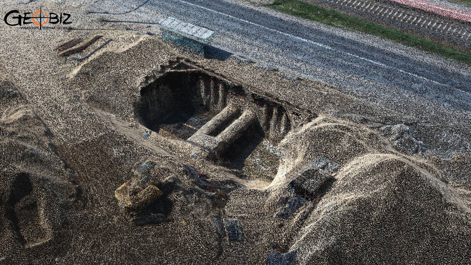
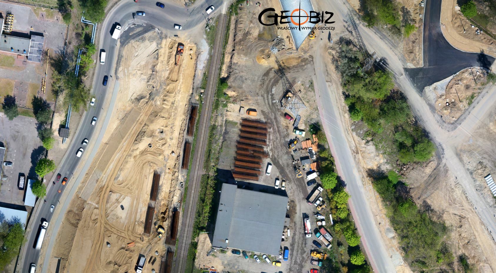
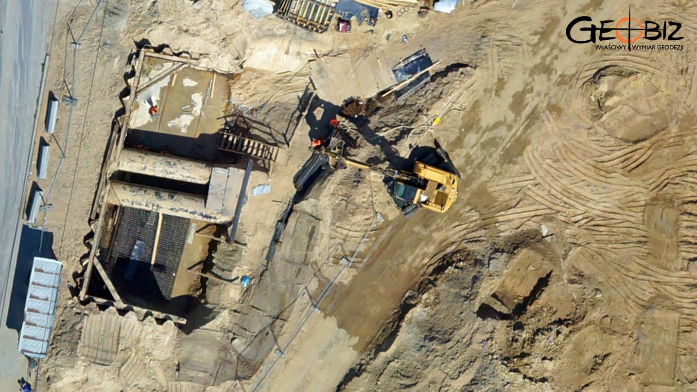
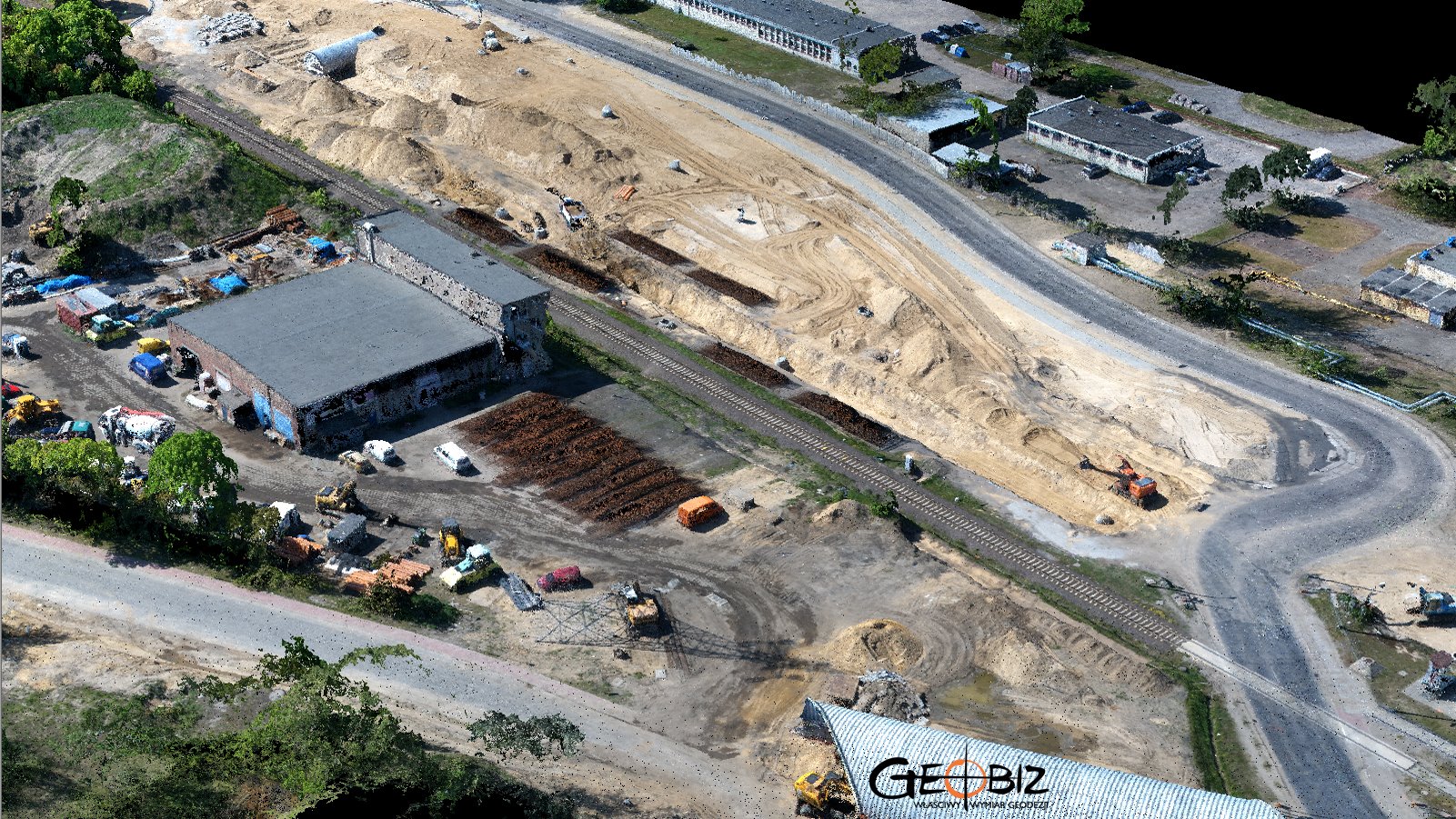
Our regular client commissioned us to conduct a quick inventory of the work progress on the road system expansion near the waste incineration plant in Poznań. An additional goal was to prepare an orthophoto map documenting the current construction status for the precise location of cranes and construction site containers. We generated a dense point cloud. A bit of excitement came from taking aerial photos near objects significantly taller than the flight altitude – it always raises the adrenaline during the flight!
Services in the field Photogrammetry - offer
Orthophotomaps
MAPS AND 3D MODELS OD OPENCAST MINES
PHOTO REPORTS FROM DRONE AND 360 CAMERAS
AERONAUTICAL PHOTOGRAMETRY
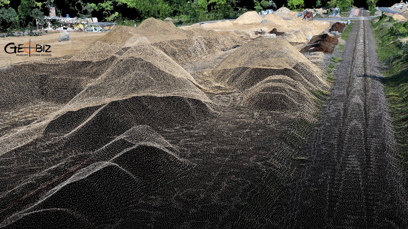
INVENTORY OF BULK MATERIAL STOCKPILES
CONSTRUCTION PROGRESS INVENTORY
We perform periodic measurements as the basis for the closure and settlement of construction stages.
CONTACT
We encourage you to send an inquiry, and we will prepare a personalized offer for you.