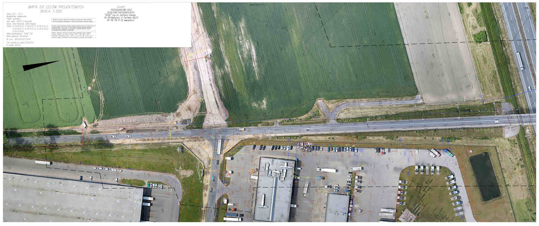
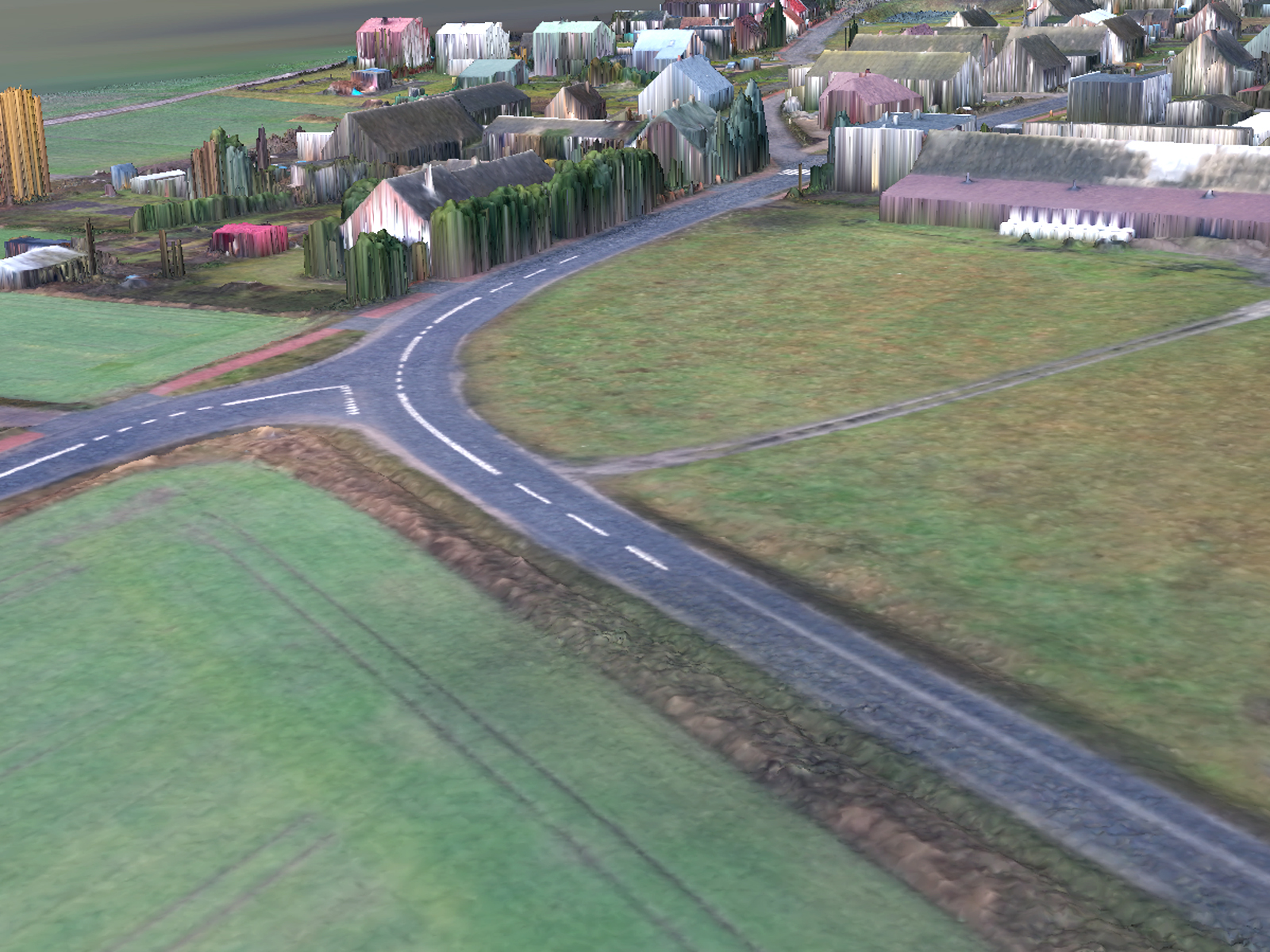
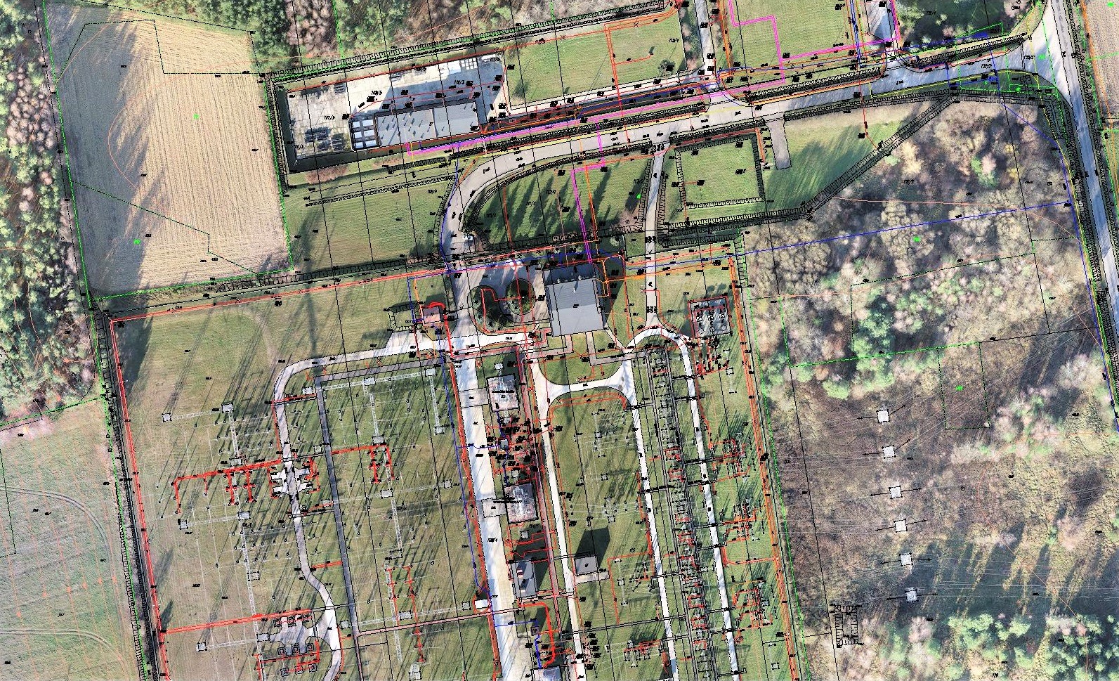
DIGITAL MAP
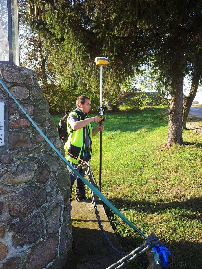
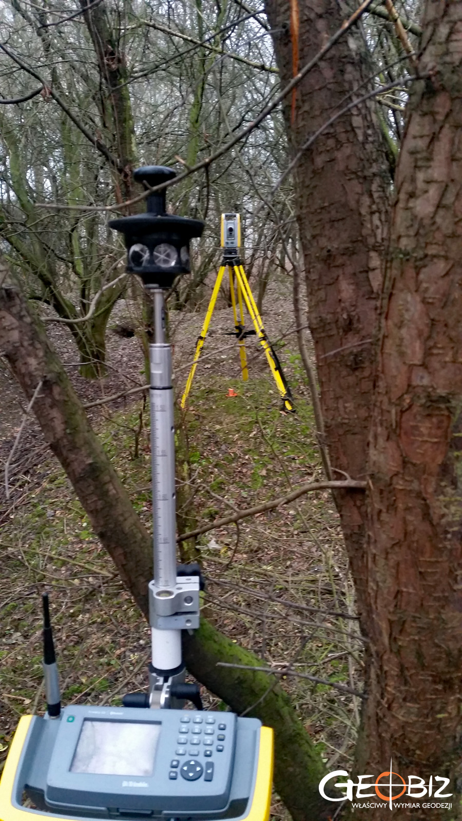
We specialize in comprehensive developments for large projects, but we also accept commissions for smaller constructions. Our maps are fully digital and vector-based products created in 3D, accompanied by a precise orthophotomap made from drone images. We produce Numerical Terrain Models, cross-sections through waterways, measurements of cable sag, and many other services necessary for the comprehensive execution of the project. We carry out the required boundary procedures—determining the location of boundary points and renewing boundary markers in places significant for the future realization of the project. We also conduct vegetation inventories and prepare applications for the removal of trees and shrubs.
We perform geodetic maps throughout the country within short timeframes—please feel free to contact us and take advantage of our services.
Services in the field Geodesy - offer
MAPS FOR DESIGN PURPOSES
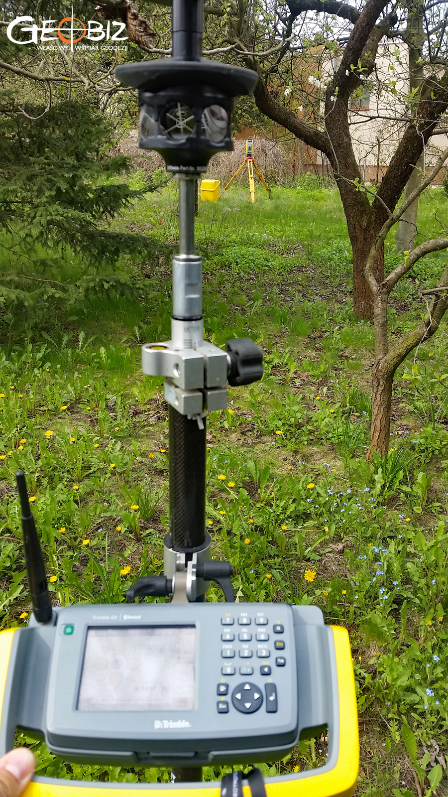
GEODETIC CONSTRUCTION SERVICE
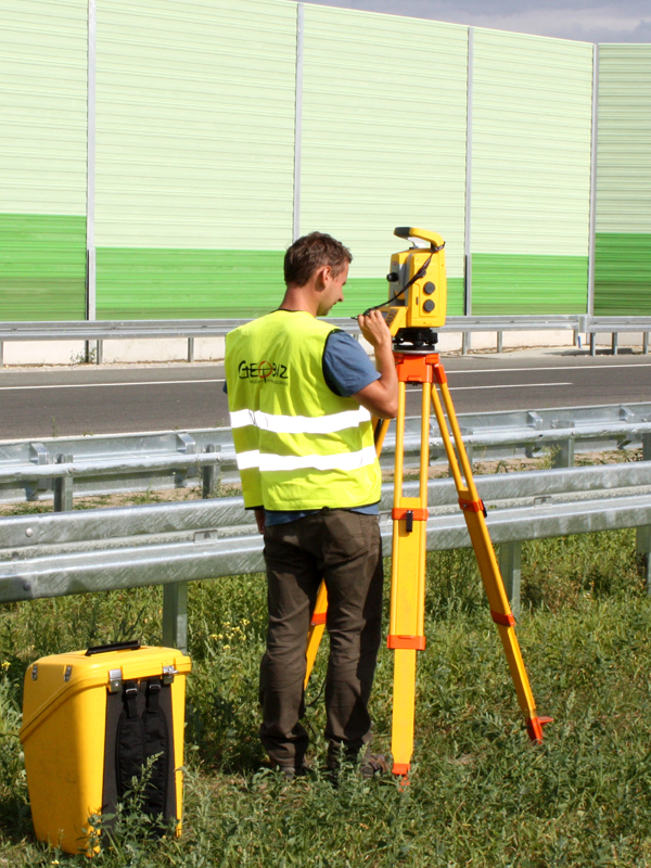
AS-BUILT INVENTORY
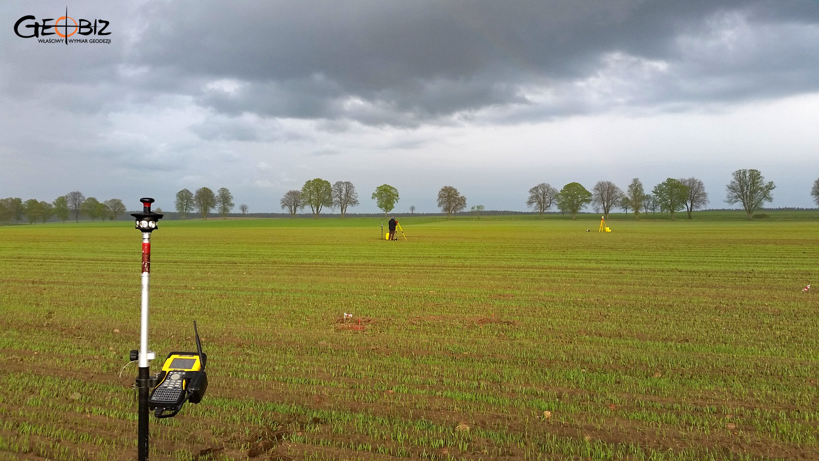
ESTABLISHMENT AND RESUMPTION OF PLOT BOUNDARIES
DIVISION OF PLOTS OF LAND
STAKE OF PROJECTED POINTS
CERTIFICATES OF INDEPENDENCE OF PREMISES
Certificates of Independence of Premises Poznań
CONTACT
We encourage you to send an inquiry, and we will prepare a personalized offer for you.