MAPS FOR DESIGN PURPOSES
GEODETIC MAP
Comprehensive development for design purposes: dwg map, digital terrain model, orthophotomap, photos of objects.
More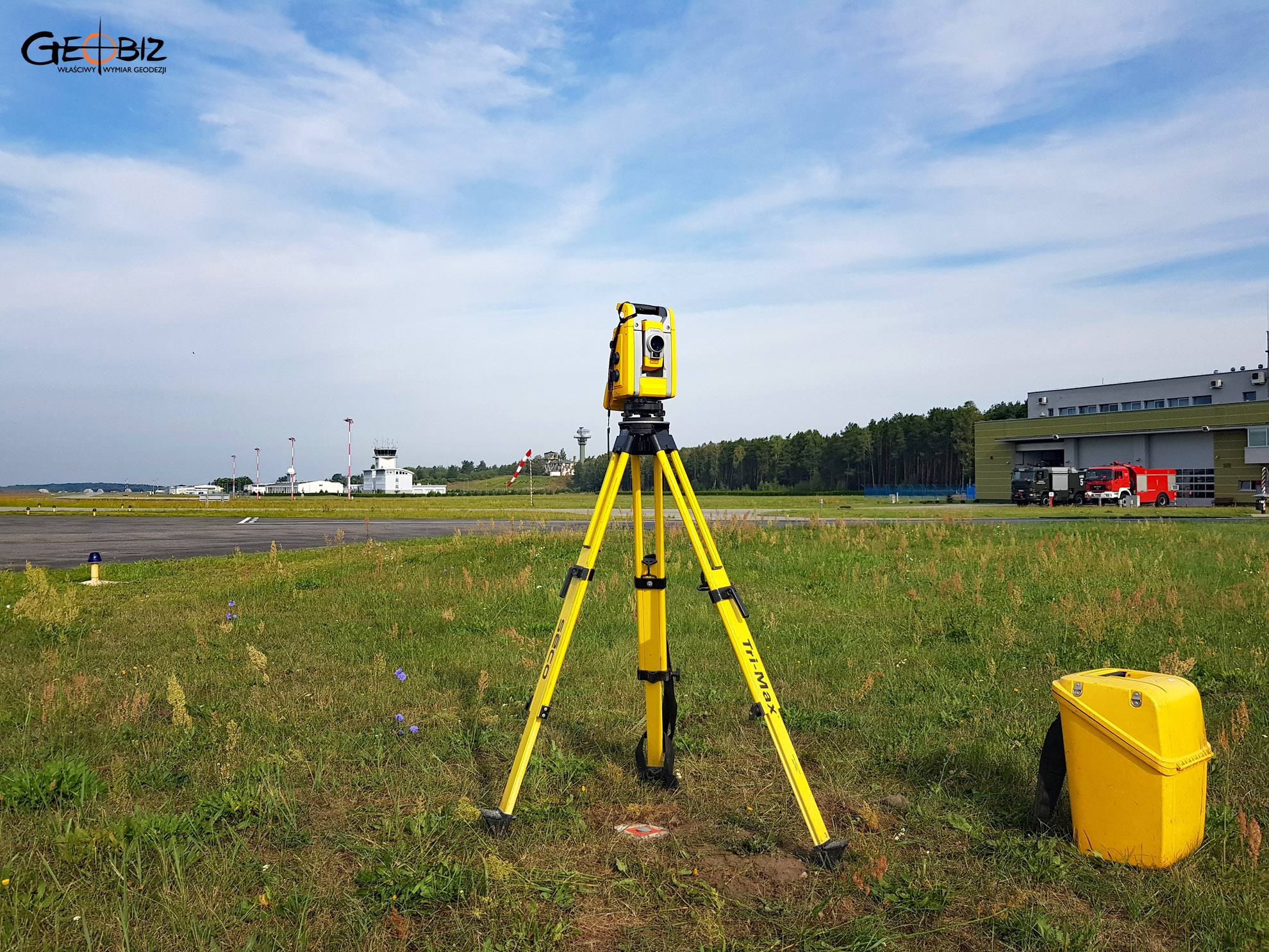


Who Creates Maps for Design Purposes? Poznań
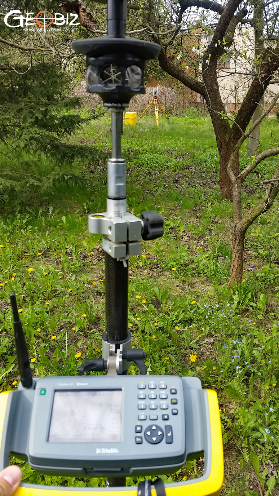
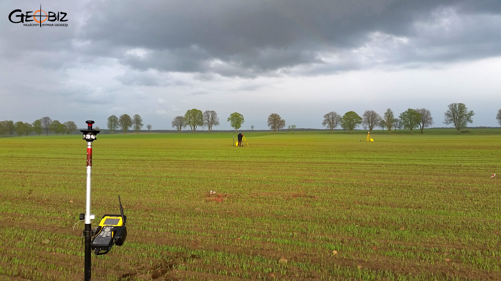
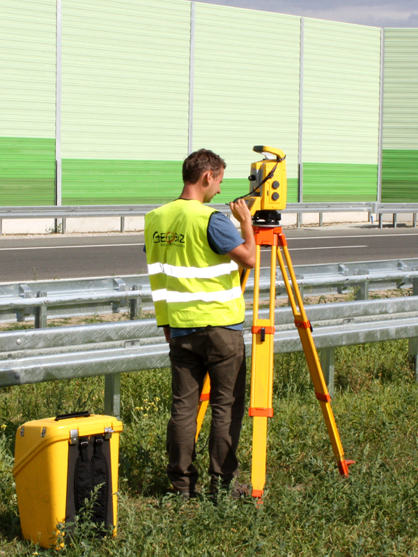
Commissioning a map for design purposes from the right person is important because not everyone can handle this task. The specialist must possess specific qualifications and authorizations for the prepared document to be valid. These include qualifications in geodetic situational and height measurements, implementation, inventory, as well as property boundary determination, subdivision, and preparing documentation for legal purposes. Especially the latter qualifications are crucial, and it's worth ensuring that the surveyor handling the commission has these authorizations.
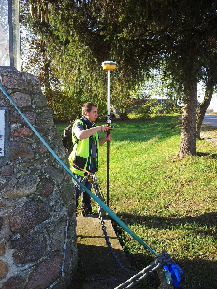
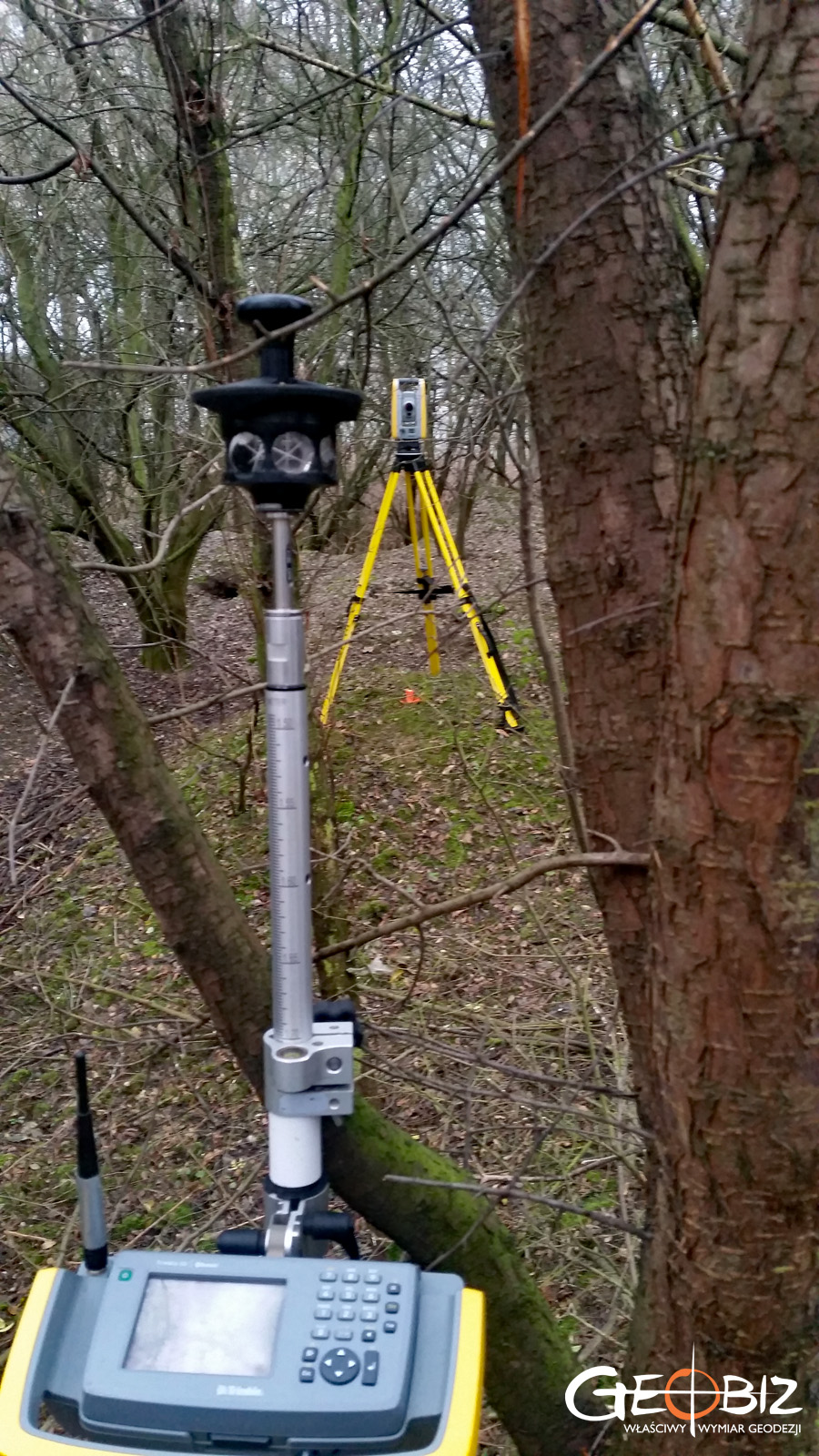
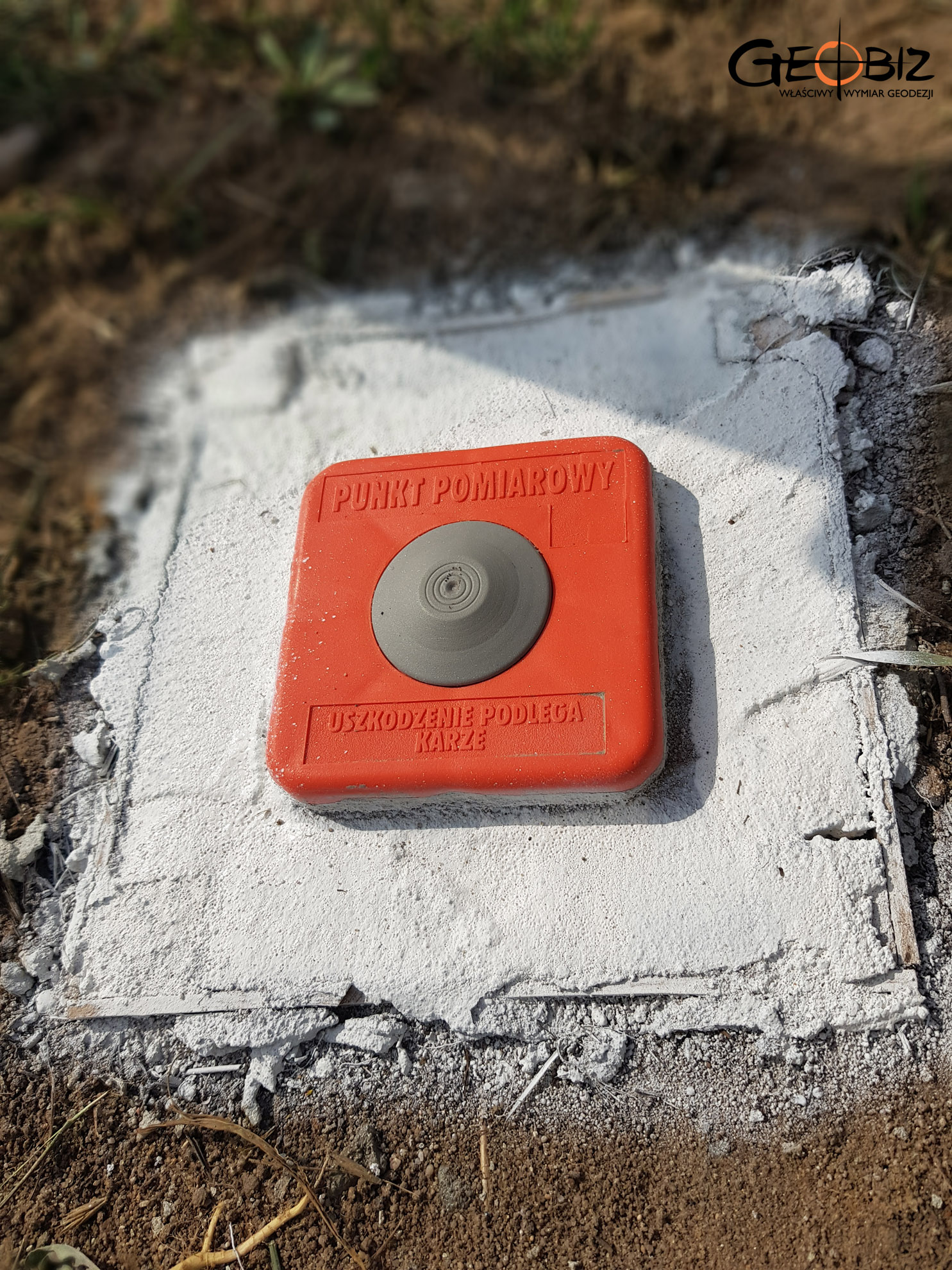
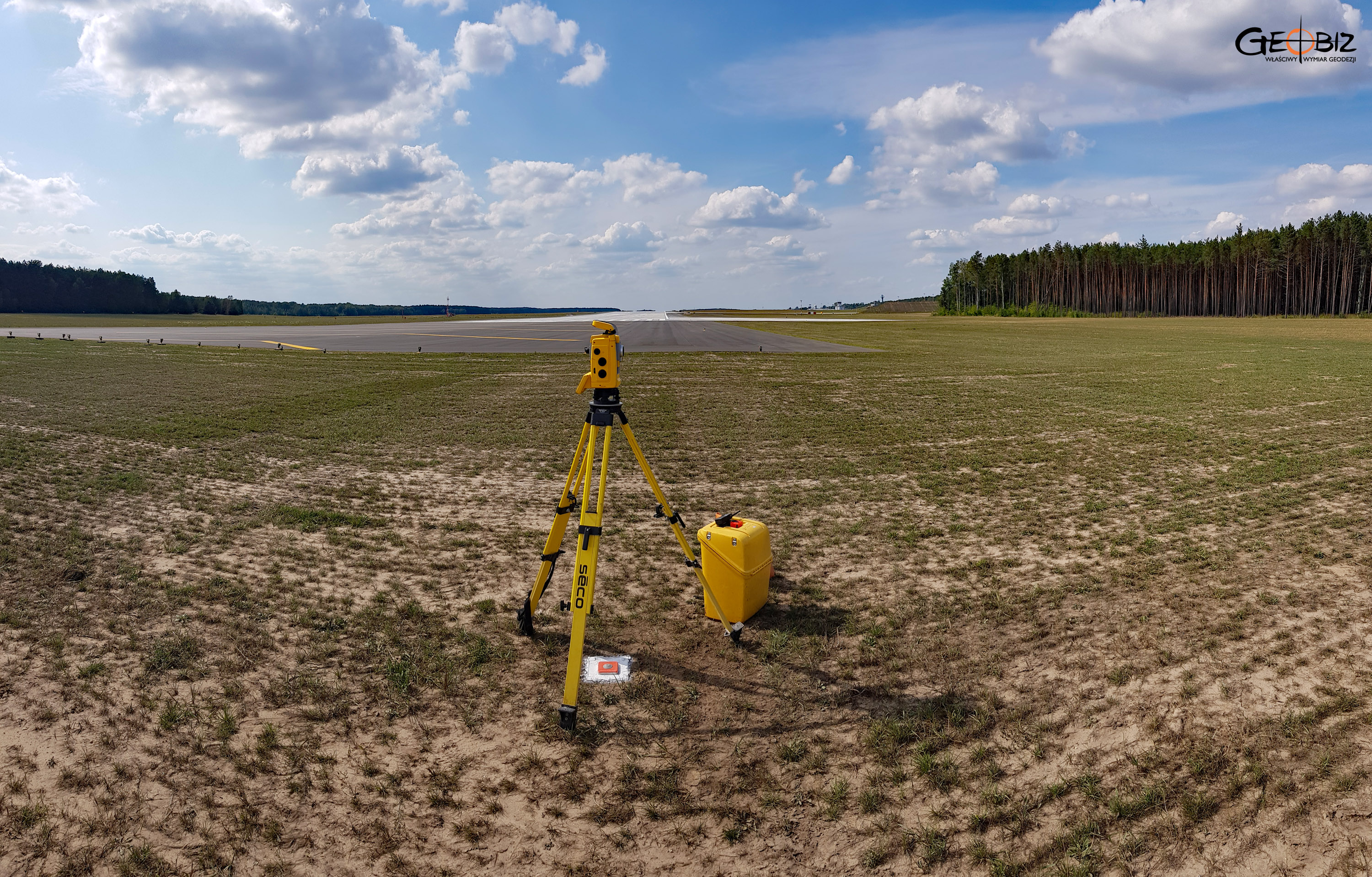
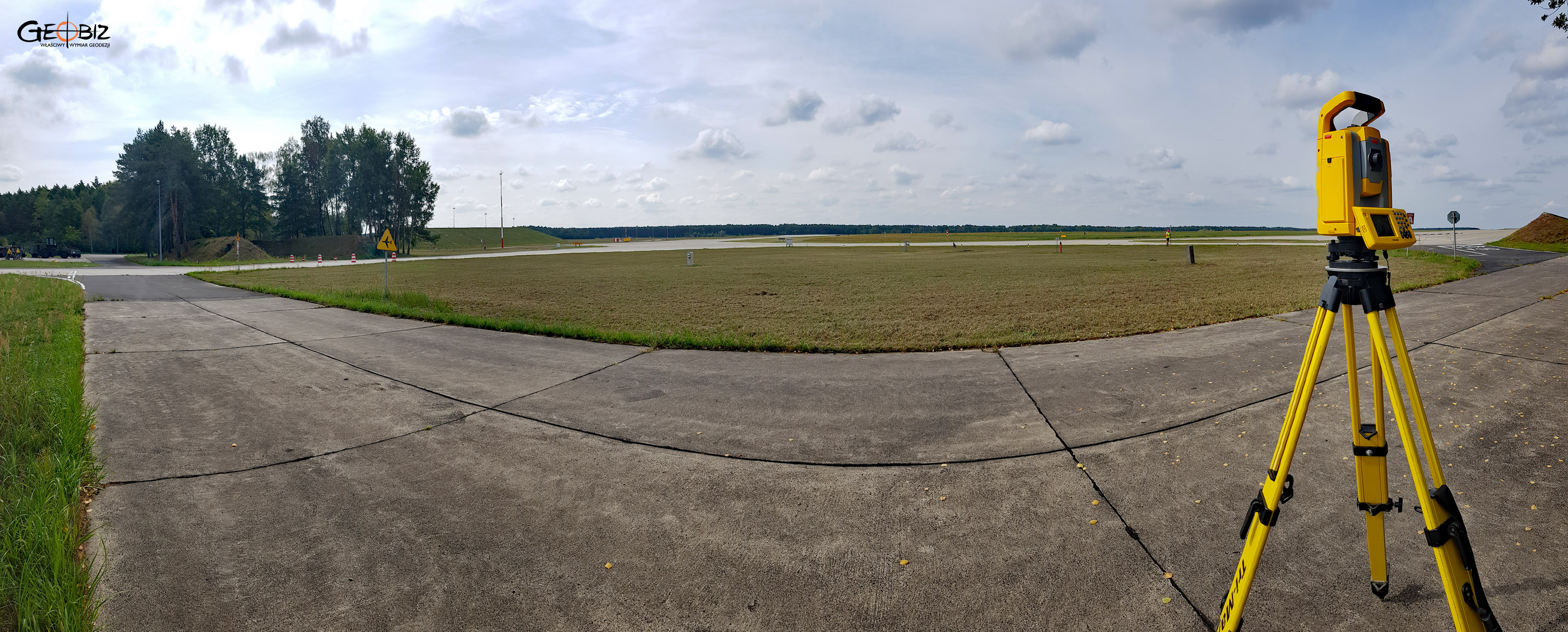
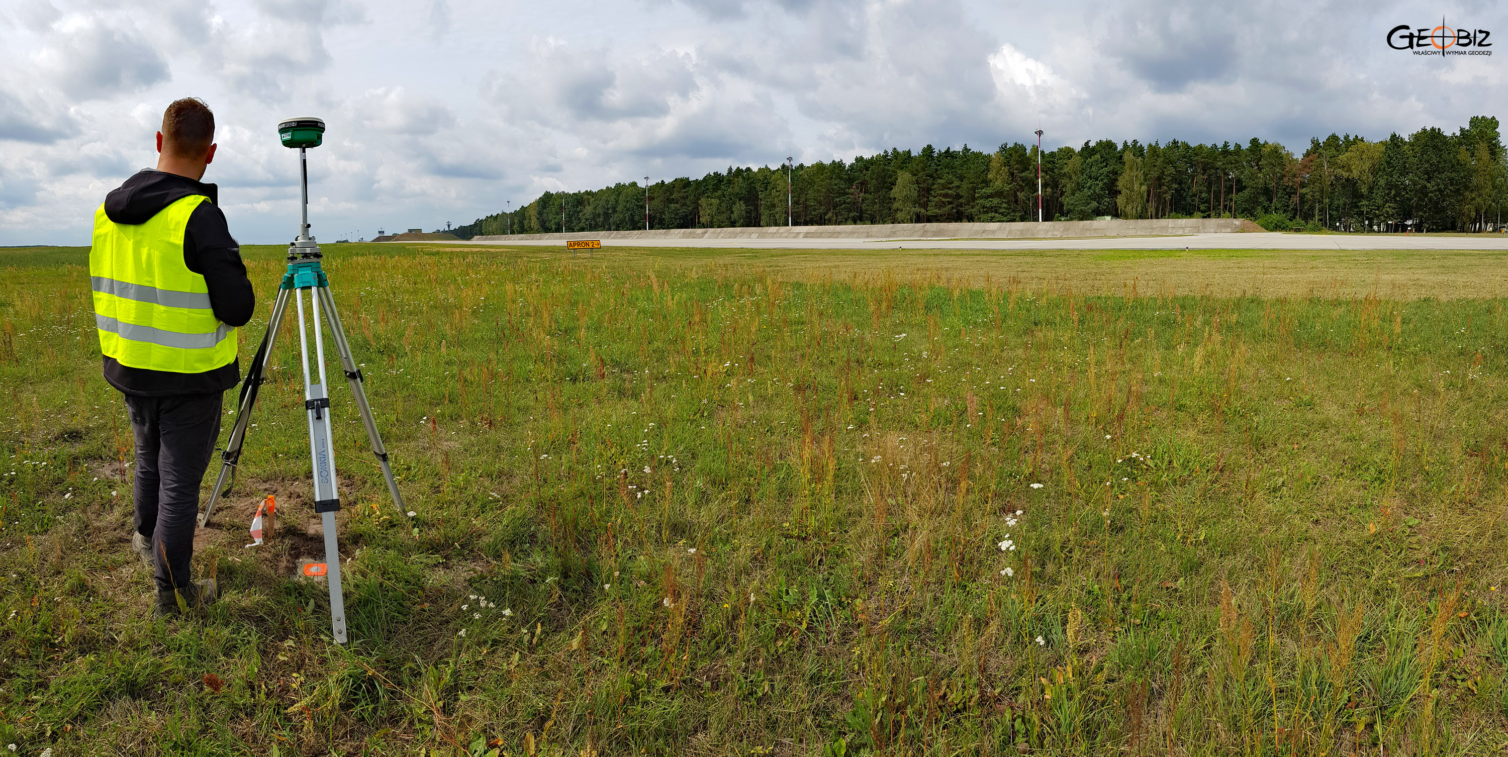
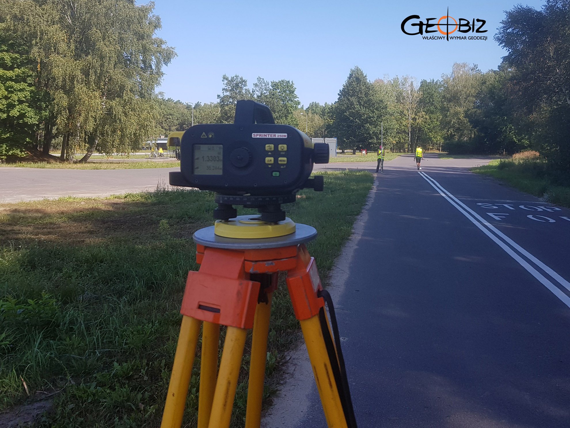
Moreover, such a map for design purposes should be created based on current geodetic data. Therefore, the person responsible for this task must perform their own measurements in the field. Only then can the proper map be developed.
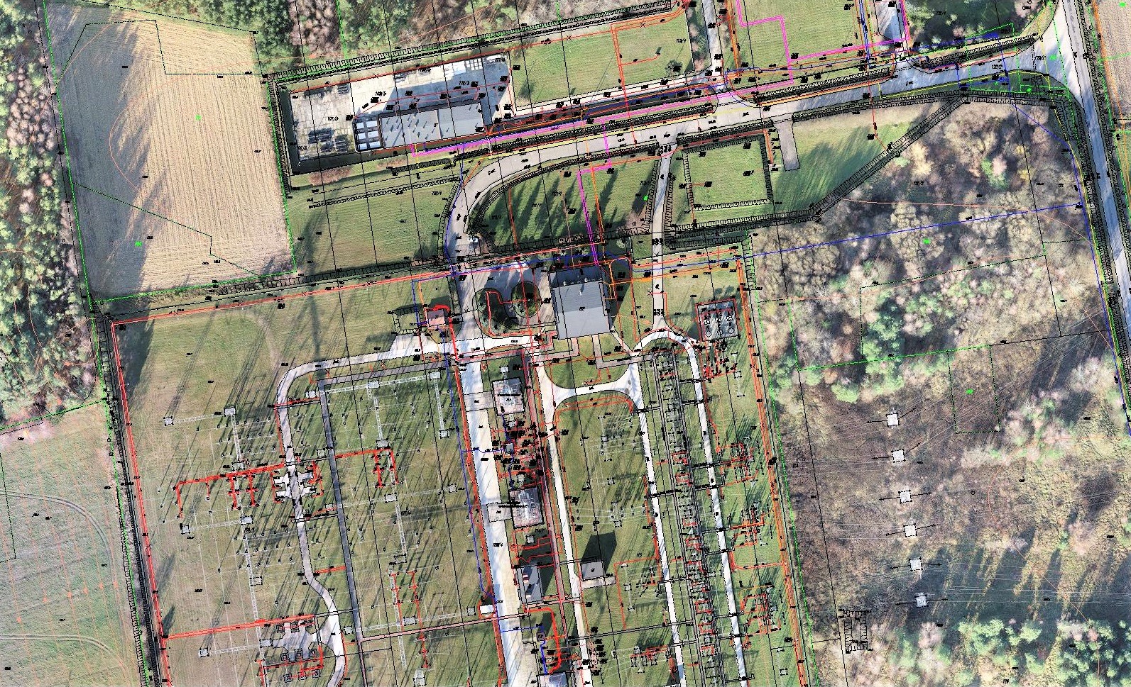
Characteristics of Maps for Design Purposes
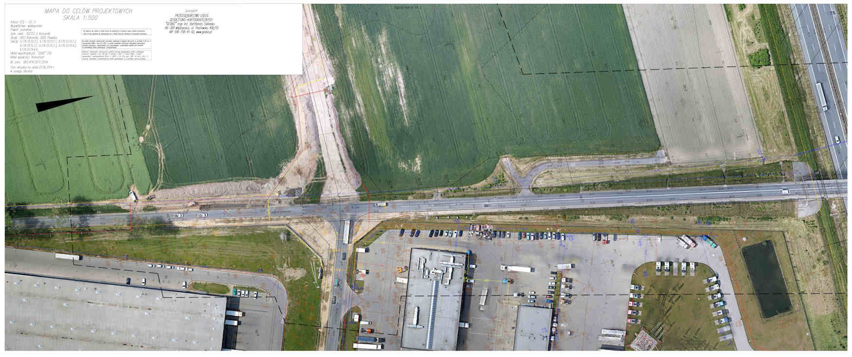
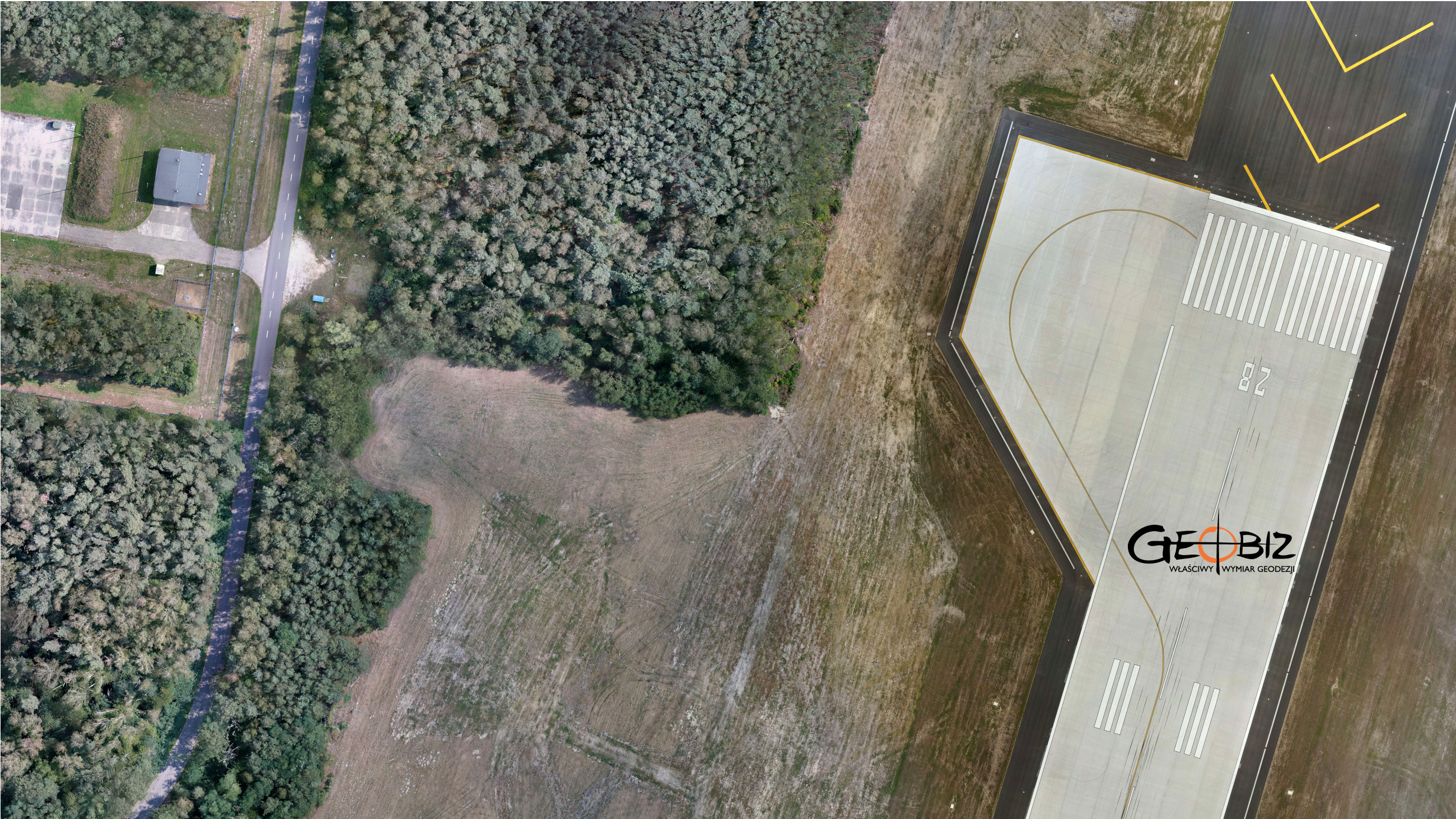
Maps for design purposes can be created in either analog or digital form. This depends on the intended use of the ordered map and the individual needs of the Investor. Since 2013, as one of the first companies in Poland, we have also offered orthophotomaps and numerical models of land cover made using close-range photogrammetry. We utilize multirotor drones and unmanned aerial vehicles along with advanced software, allowing us to produce maps faster, more accurately, and significantly cheaper for larger areas than by using traditional measurement methods.
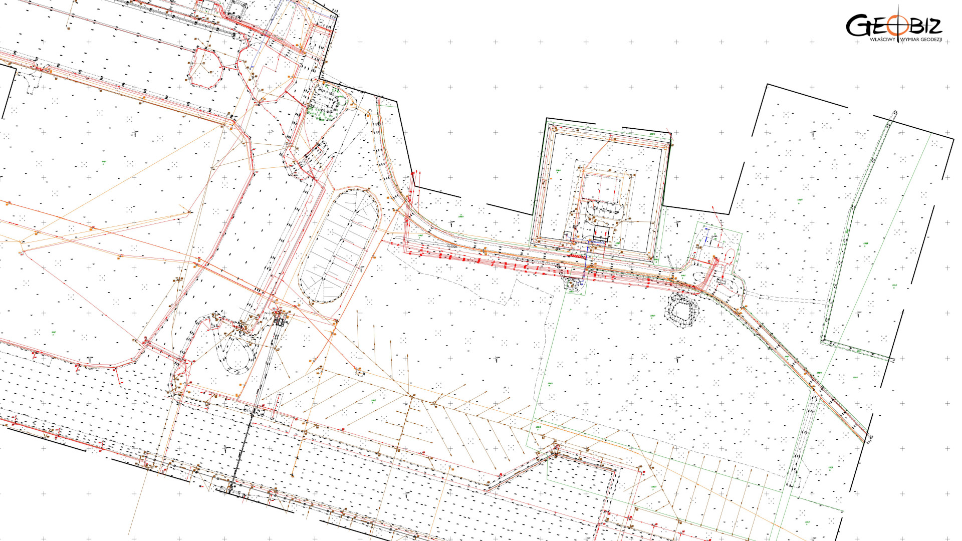
A digital map is created by gathering data from various sources into a single system, including field measurements, importing data from other information processing systems and geodetic database centers, calibrating and vectorizing analog maps, and utilizing other archival materials (sketches, outlines, listings, etc.). The advantage of a digital map over an analog one is the ability to highlight and select important information about the area by filtering data defined on thematic layers. Actions performed on the digital map using CAD tools allow for the editing of digital data as needed and the calculation of lengths, areas, etc.
The key content of maps for design purposes is property boundaries. They determine the extent of ownership rights over the property by the owners of individual plots. Due to historical reasons, this issue has been largely neglected in Poland and therefore requires special attention and actions by the surveyor. Usually, to properly execute a map for design purposes, it is necessary to carry out procedures for determining property boundaries, which involves calling property owners to the site and preparing appropriate boundary protocols. Conducting these tasks during the preparation of maps for design purposes ensures that there will be no surprises during construction, such as work stoppages, costly relocations, or the need to create alternative projects.
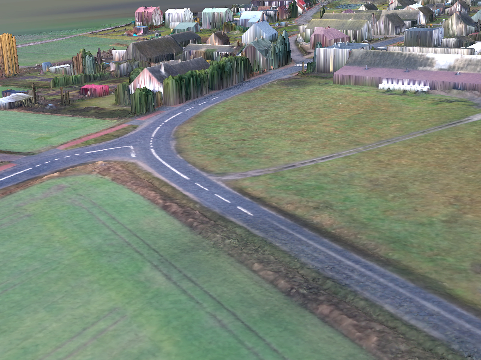
3D maps for design purposes serve to spatially represent the terrain model, making the future development of investment projects and obtaining information about the area more efficient, which translates to saved time and money. Creating a three-dimensional terrain model based on such a map is very straightforward and does not take much time. New possibilities for map development are provided by the unmanned aerial systems (UAS). As a result of aerial surveys, we obtain precise and, most importantly, current orthophotomaps and numerical models of land cover. Further processing of the data yields a digital terrain model with an accuracy unattainable by classical measurements.
CONTACT
We encourage you to send an inquiry, and we will prepare a personalized offer for you.