3D LASER SCANNING OF AN OPENCAST MINE
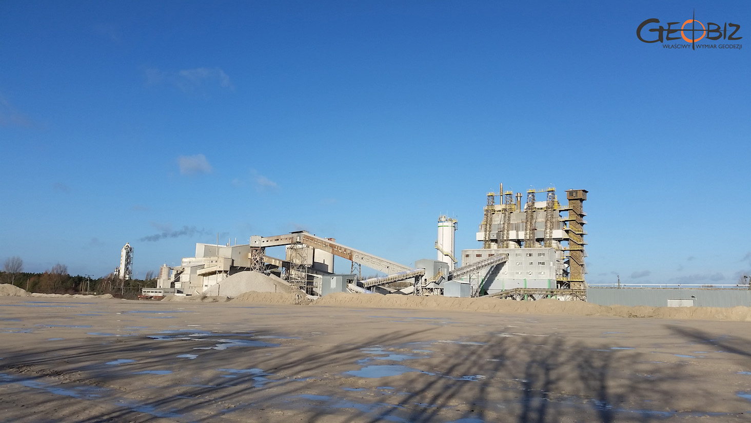
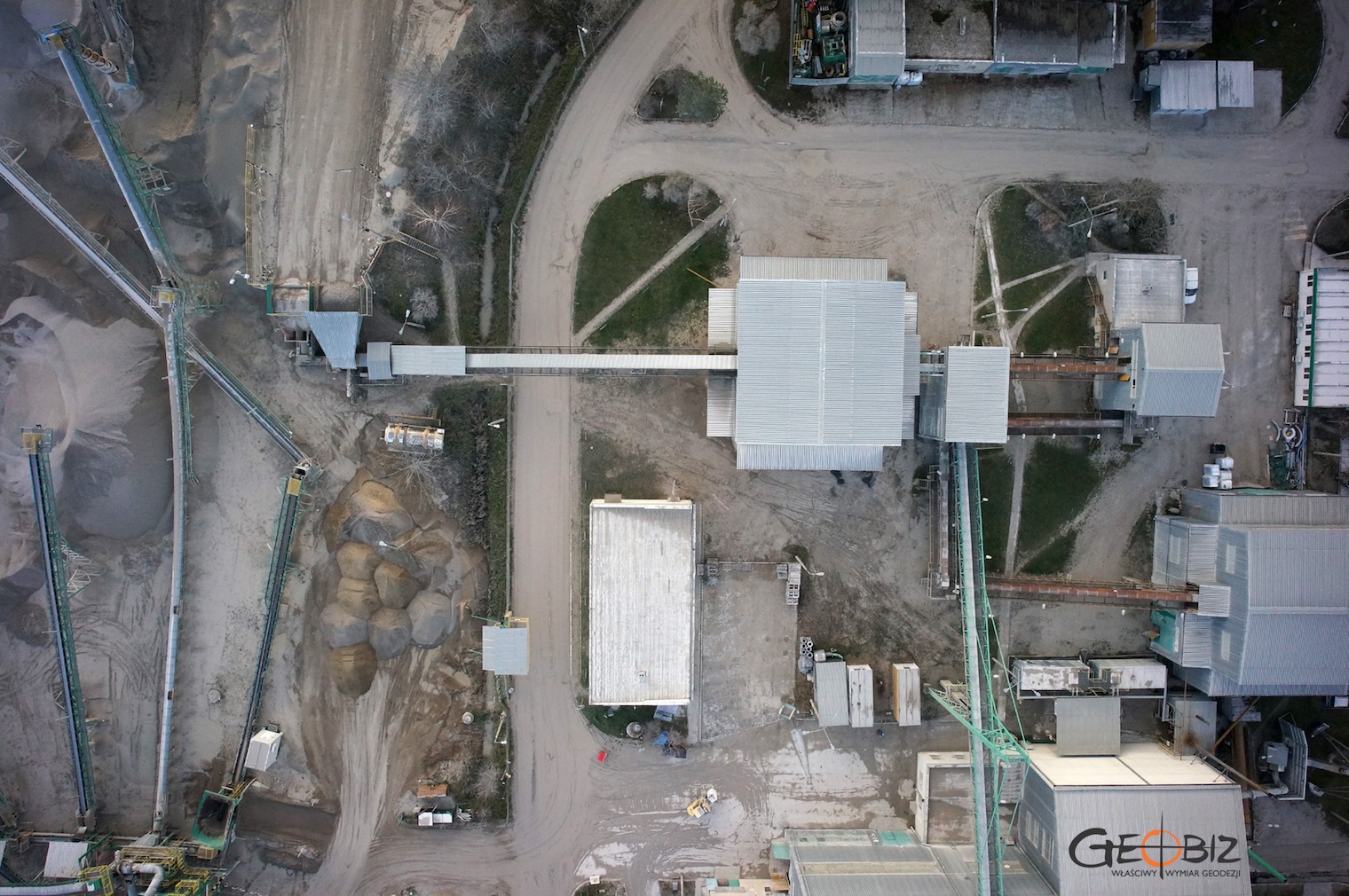
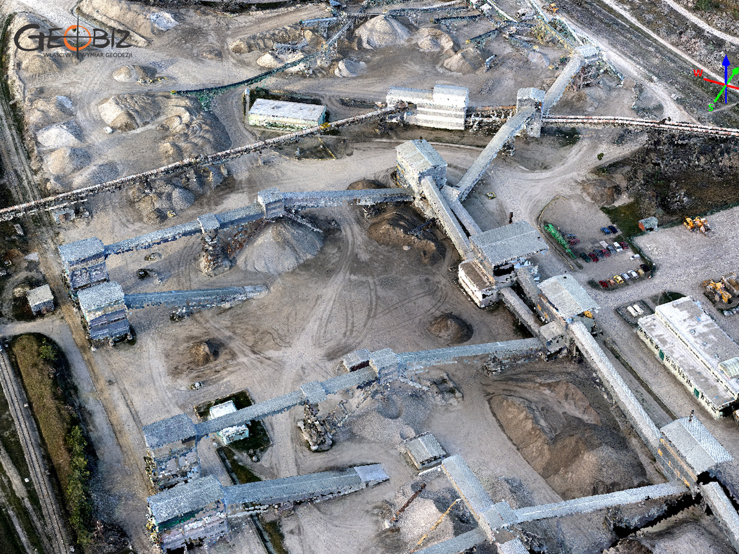
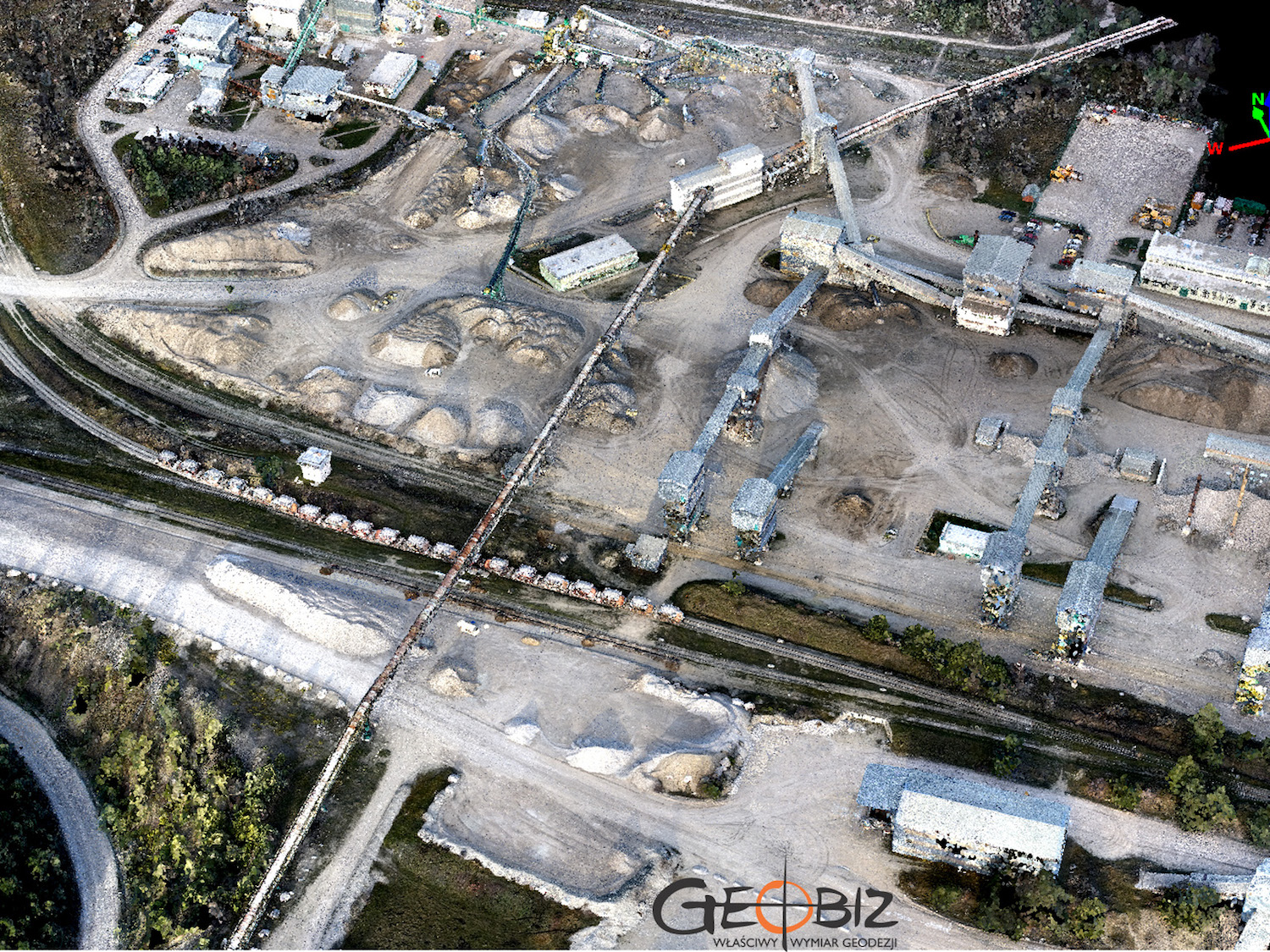
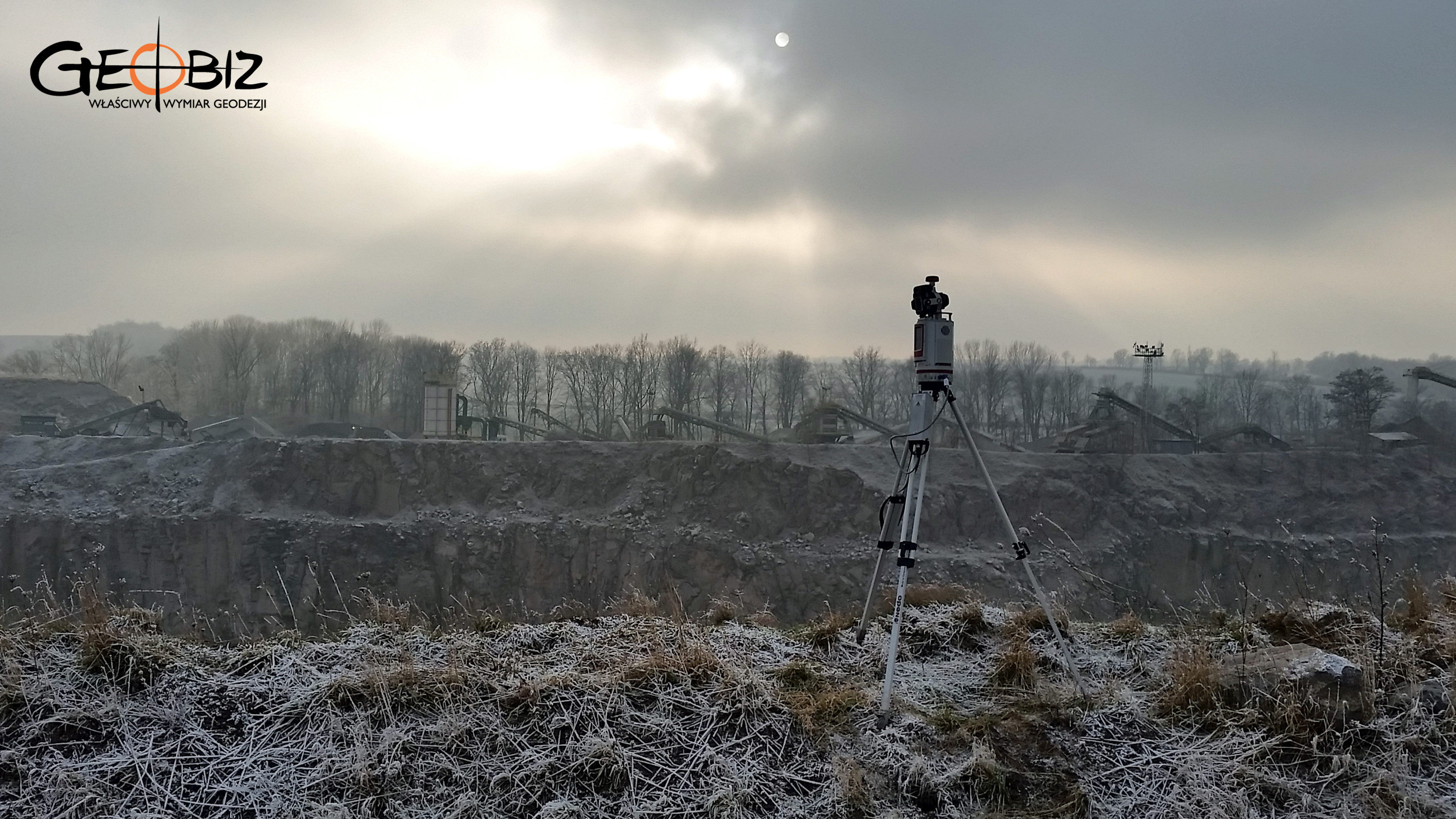
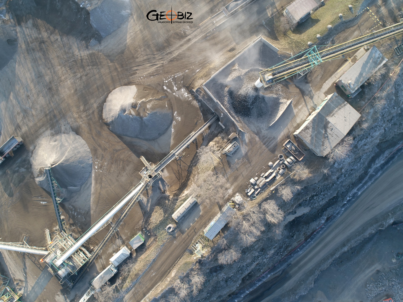
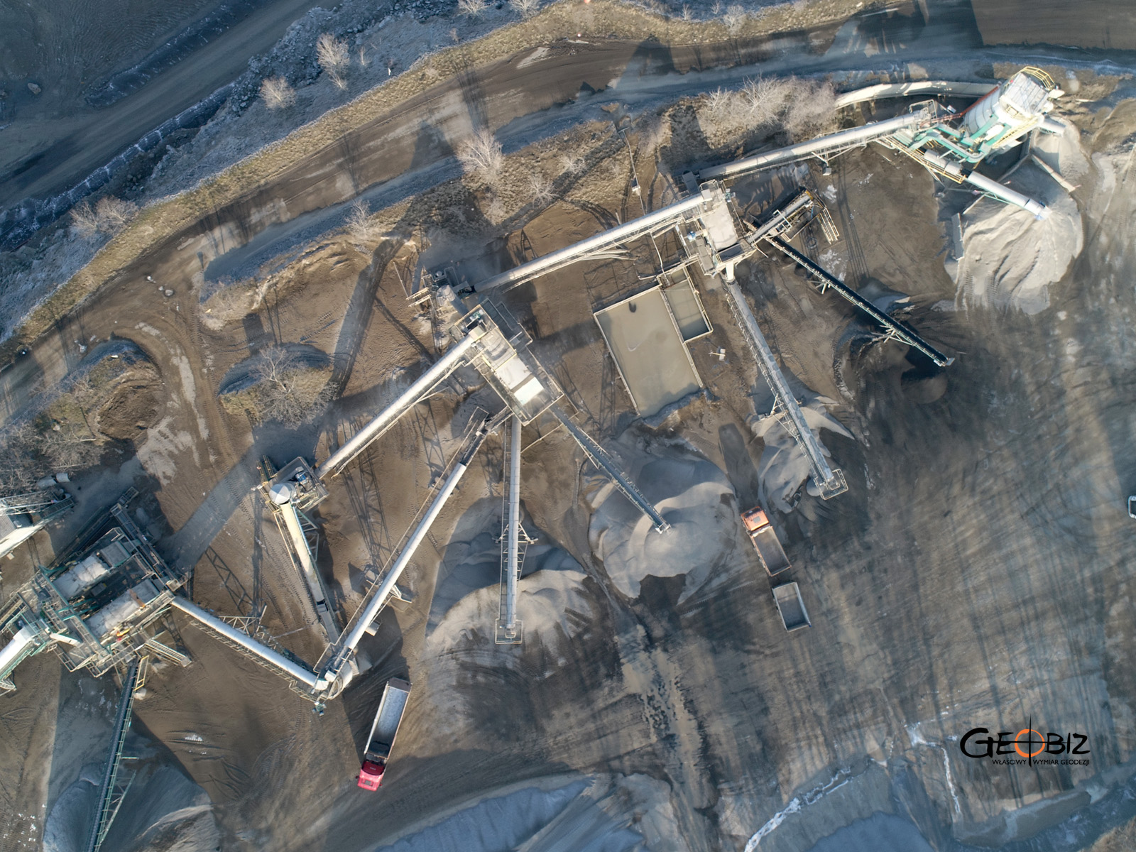
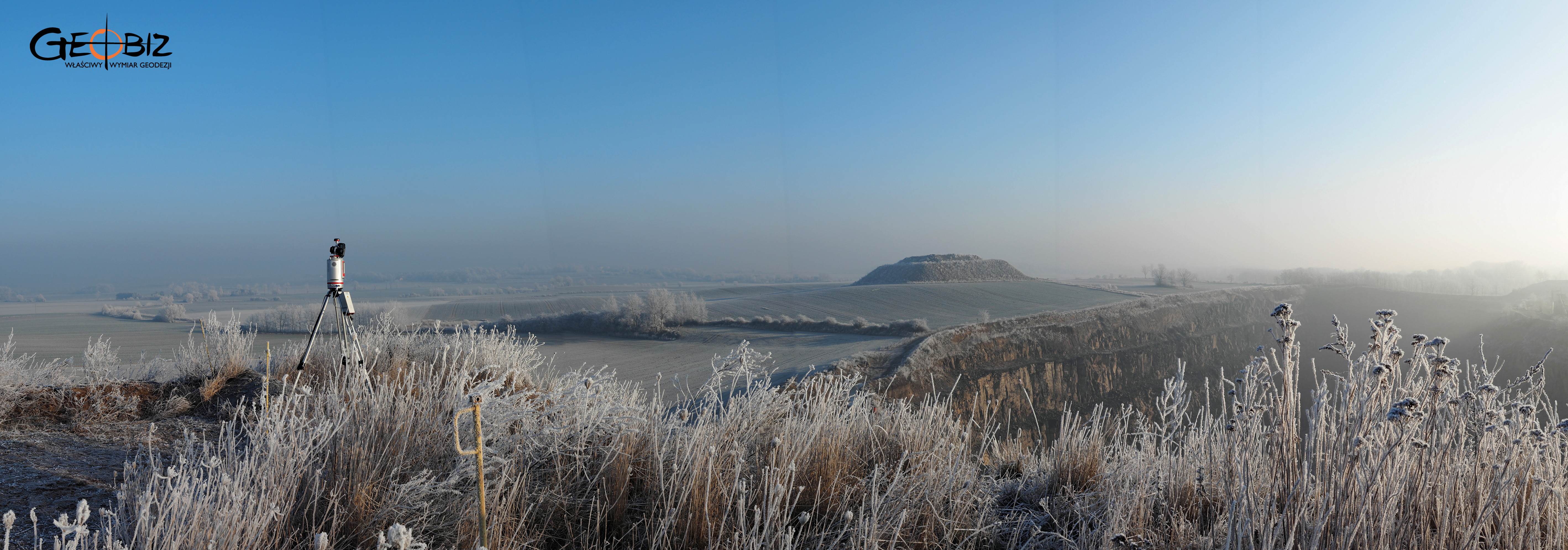
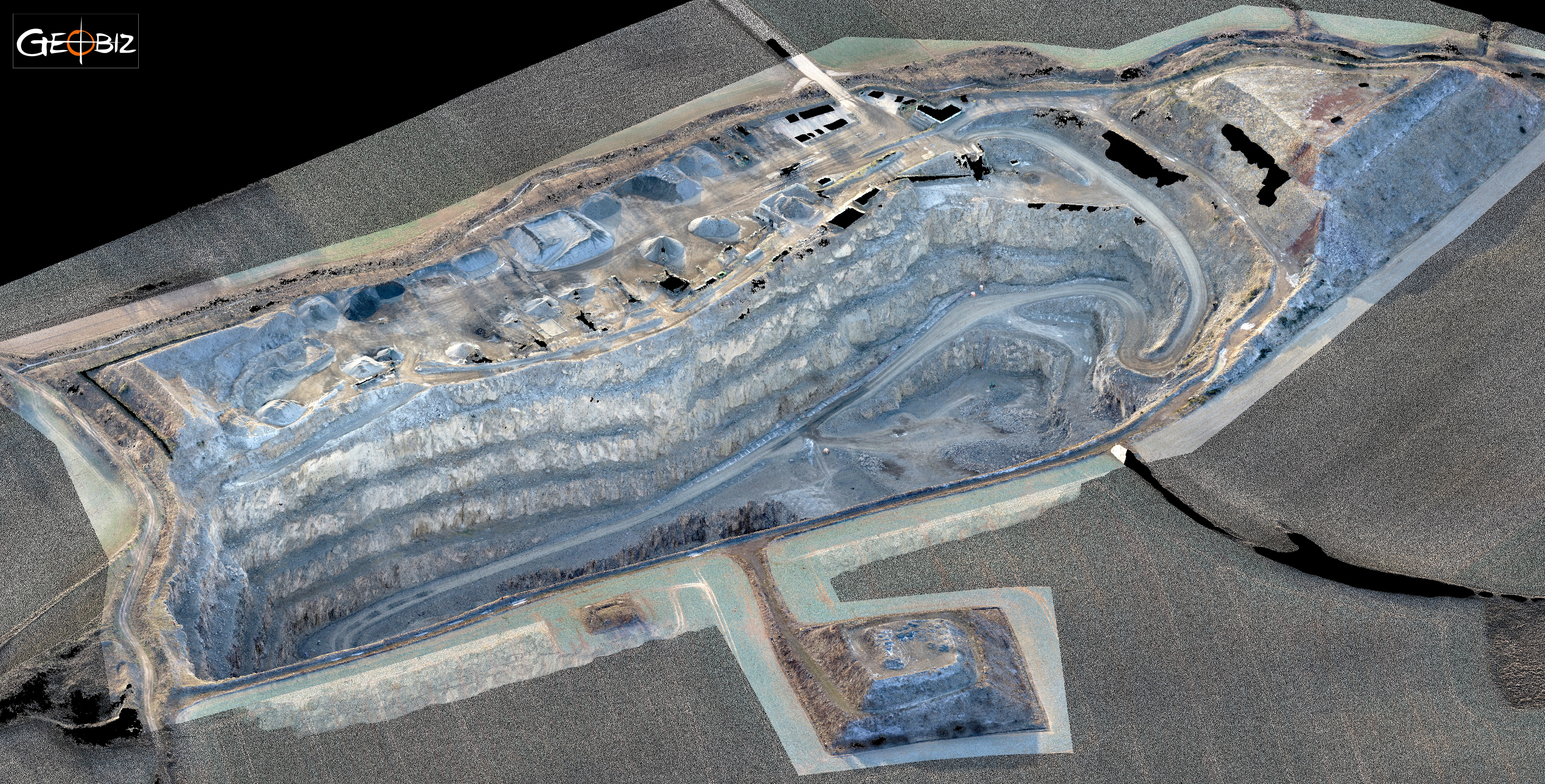
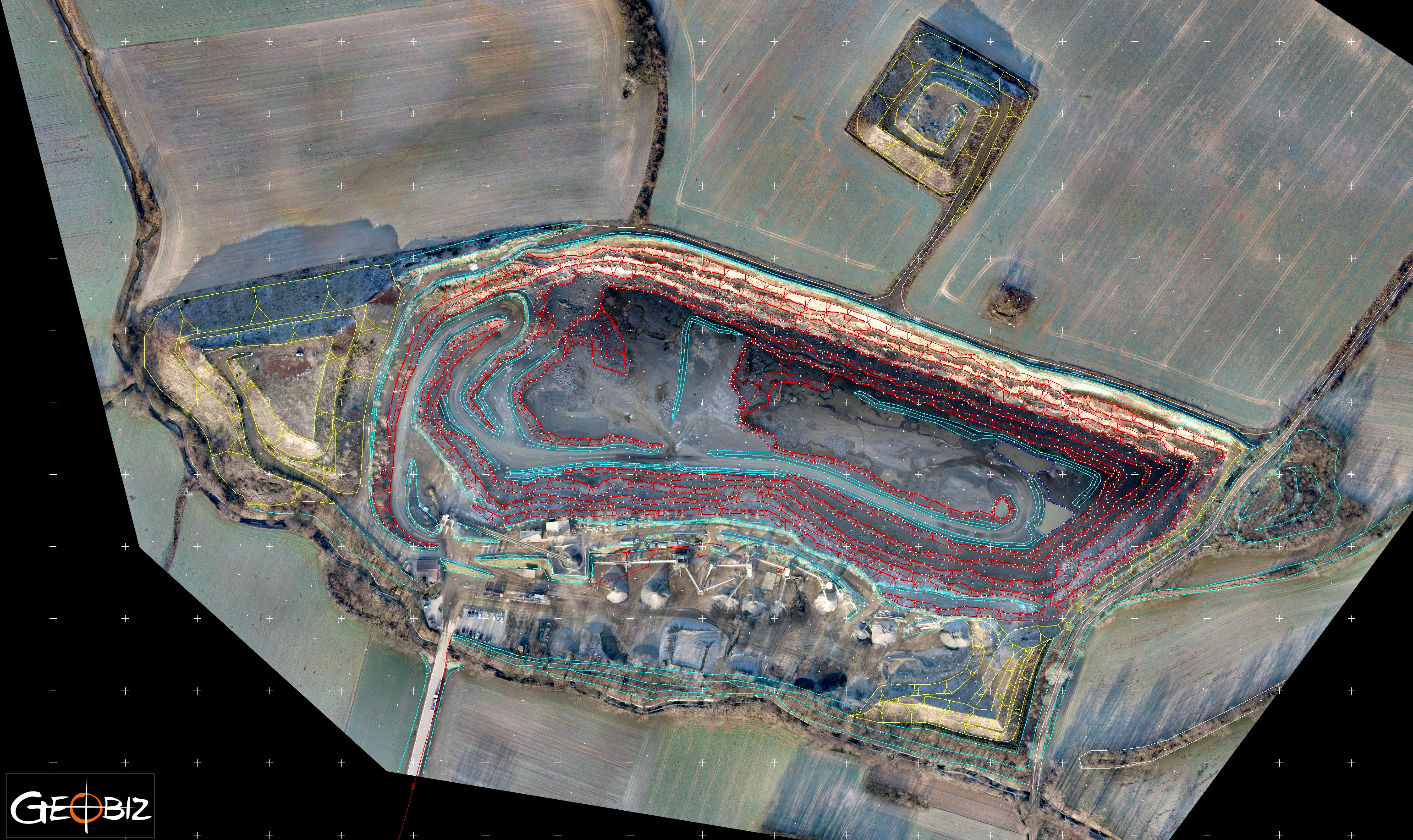
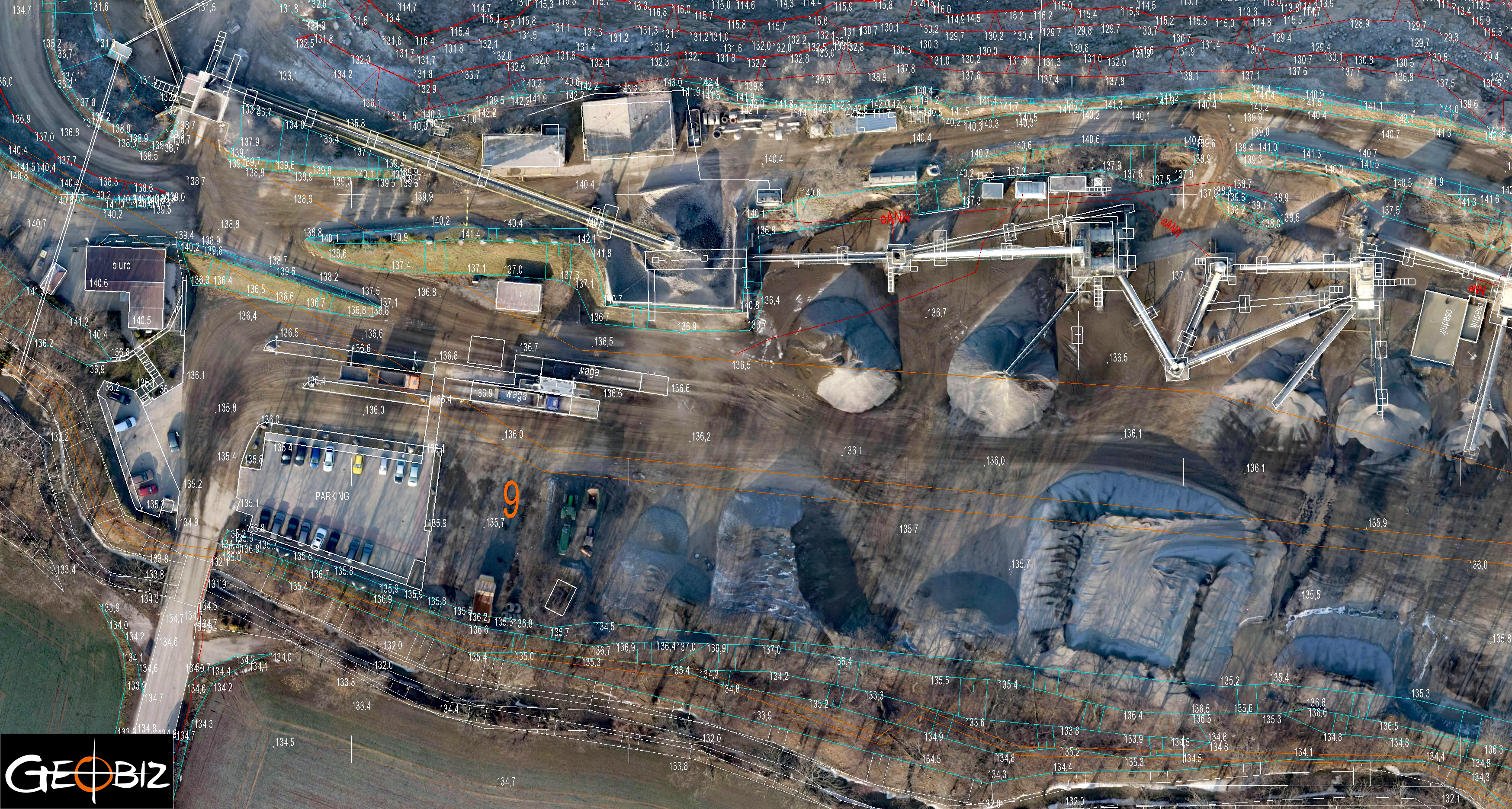
Using laser scanning methods and close-range aerial photogrammetry, we surveyed a basalt mine along with the surrounding area in the Lower Silesian Voivodeship. The temperature was challenging—below -10 degrees in the morning and a maximum of -5 degrees during the day. Despite the difficult conditions, the equipment performed well, and we carried out the fieldwork quickly and efficiently. The final deliverables included a terrain model and a map with complete mapping content in .dgn/.dwg format. The processing of the model, after cleaning the point clouds and merging them, was straightforward. Additionally, we generated an orthophoto map with a pixel size below 3 cm GSD, which was included in the mapping file.
This particular mine was quite unique due to height differences reaching 100 meters over a relatively small area. The walls of the mine are nearly vertical, making modeling using photogrammetry alone challenging. Being at the bottom felt a bit like preparing to climb Kazalnica in the Tatras :) Therefore, we decided to combine laser scanning and close-range photogrammetry methods. After integrating and cross-checking the data, we are confident that the measurements taken across the entire area are accurate.
Services in the field Skanning 3D - offer
CONSTRUCTION AND ARCHITECTURAL INVENTORIES
Reverse documentation based on laser scanning data
VOLUME OF PRISMS UNDER ROOFS AND IN HALLS
Inventory of loose materials in warehouses under the roof and in the halls.
DIGITAL TERRAIN MODEL
3D terrain modeling based on point clouds from laser scanning and photogrammetry.
BUILDING AREA MEASURMENT
Measurement of the usable area of buildings in accordance with applicable standards.
BALANCE OF EARTH WORKS
Calculation of the amount of earthworks actually performed
INVENTORY OF DAMAGES AND MONITORING CHANGES
Precise measurement of damage after collisions and accidents
CONTACT
We encourage you to send an inquiry, and we will prepare a personalized offer for you.

